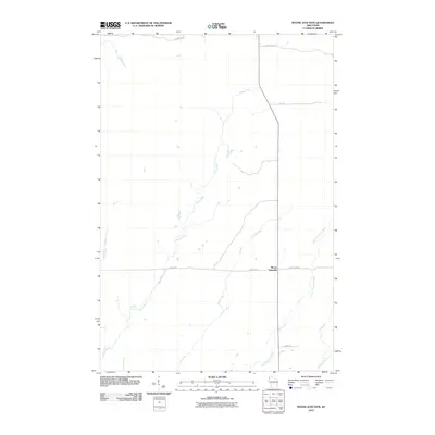
2010 Map of Moose Junction
USGS Topo · Published 2010About this map
Moose Junction serves as the central focal point of this Northwest Wisconsin landscape, where County Hwy M meets E Moose Rd amidst a complex network of waterways. The terrain is defined by the winding paths of the Spruce River and the Upper Tamarack River, which dominate the drainage pattern of the area. This 2010 survey illustrates a quiet, rural junction characterized by its proximity to both water and remote timber access roads like E Tower Fire Ln and E Summit Trl. Other tributaries, including Toad Creek and Chases Brook, carve through the region, reflecting the hydrologically rich environment typical of Douglas County. The map provides a clear record of the intersection and its surrounding forest tracks and fire lanes, which remain vital for local transit and forest management in this sparsely populated section of Dairyland.
Find a feature on this map
12 named features on this map. Tap any name to fly to it.
Don’t see what you’re looking for? This feature index may not catch every label — zoom into the map to look around manually.
Map Details
Editions of this 2010 Moose Junction Map
This is the sole edition of this map. No revisions or reprints were ever made.
Other maps of this area

1949 · Danbury
USGS Topo · 1:48,000

1949 · Holyoke
USGS Topo · 1:48,000

1949 · Webb Lake
USGS Topo · 1:48,000

1949 · Patzau
USGS Topo · 1:48,000

1953 · Duluth
USGS Topo · 1:250,000

1954 · Foxboro
USGS Topo · 1:24,000

1954 · Amnicon Lake
USGS Topo · 1:24,000
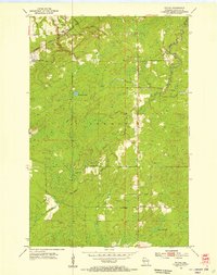
1954 · Patzau
USGS Topo · 1:24,000

1955 · Webb Lake
USGS Topo · 1:62,500

1955 · Patzau
USGS Topo · 1:62,500