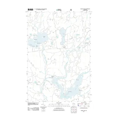
2011 Map of Moose Lake
USGS Topo · Published 2011About this map
Moose Lake and the surrounding Northwoods landscape define this 2011 survey, showing a complex network of glacial lakes and river systems. The West Fork Chippewa River serves as the central artery, controlled by several structures including the Moose Lake 1911 C540 Dam and the Ghost Lake WP307 Dam. These water management features illustrate the region's long-standing relationship with timber and power, dating back over a century as evidenced by the dam's 1911 designation.
Find a feature on this map
58 named features on this map. Tap any name to fly to it.
Don’t see what you’re looking for? This feature index may not catch every label — zoom into the map to look around manually.
Map Details
Editions of this 2011 Moose Lake Map
This is the sole edition of this map. No revisions or reprints were ever made.
Other maps of this area

1942 · Clam Lake
USGS Topo · 1:48,000

1943 · Namekagon Lake
USGS Topo · 1:48,000

1944 · Draper
USGS Topo · 1:48,000

1944 · Radisson
USGS Topo · 1:48,000

1945 · Namekagon Lake
USGS Topo · 1:48,000

1945 · Clam Lake
USGS Topo · 1:48,000

1947 · Draper
USGS Topo · 1:48,000

1949 · Radisson
USGS Topo · 1:48,000

1953 · Ashland
USGS Topo · 1:250,000

1953 · Rice Lake
USGS Topo · 1:250,000