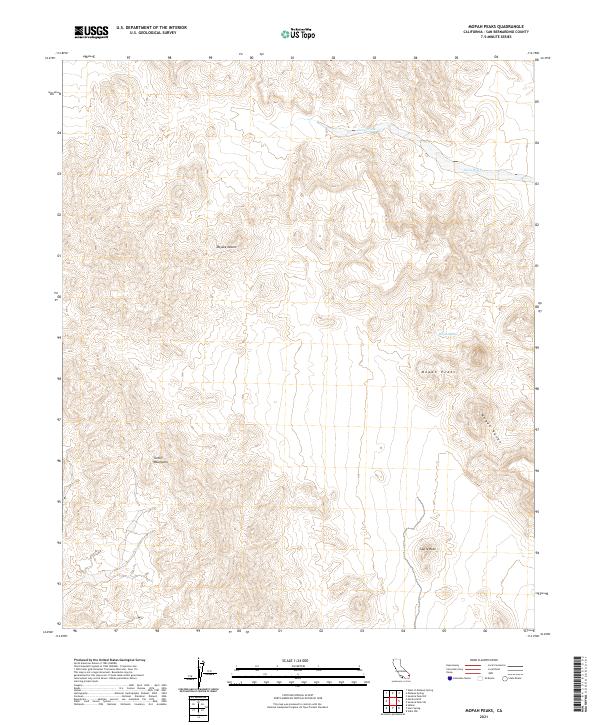
2021 Map of Mopah Peaks
USGS Topo · Published 2021About this map
The Mopah Peaks dominate this section of the Mojave Desert, standing as prominent volcanic landmarks within the Mopah Range. This 2021 survey of the Turtle Mountains area illustrates a stark desert environment where life and movement are dictated by scarce water sources like Mopah Spring. The terrain is characterized by dramatic elevation changes, notably at Castle Rock, and the seasonal drainage patterns of Gary Wash. The mapping of these landforms reveals a landscape largely untouched by modern development, preserved in its natural state for geological study and desert navigation. The absence of roads or settlements emphasizes the isolation of this corner of San Bernardino County, where the topography itself serves as the primary historical record.
Find a feature on this map
11 named features on this map. Tap any name to fly to it.
Don’t see what you’re looking for? This feature index may not catch every label — zoom into the map to look around manually.
Map Details
Editions of this 2021 Mopah Peaks Map
This is the sole edition of this map. No revisions or reprints were ever made.
Other maps of this area

1943 · Turtle Mts.
USGS Topo · 1:62,500

1943 · Vidal
USGS Topo · 1:62,500

1949 · Vidal
USGS Topo · 1:62,500

1950 · Vidal
USGS Topo · 1:62,500

1950 · Savahia Peak
USGS Topo · 1:62,500

1951 · Savahia Peak
USGS Topo · 1:62,500

1954 · Needles
USGS Topo · 1:250,000

1954 · Turtle Mountains
USGS Topo · 1:62,500

1954 · Rice
USGS Topo · 1:62,500

1956 · Needles
USGS Topo · 1:250,000