
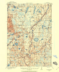
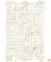
1985 Map of Mora
USGS Topo · Published 1985About this map
The Rum River and Snake River systems anchor this mid-1980s look at the transition from the central Minnesota plains to the northern forests. This survey captures a network of established agricultural towns including Mora, Princeton, Milaca, and Cambridge, connected by an evolving highway system and the Burlington Northern railroad lines. The landscape is notably defined by its extensive conservation areas, from the sprawling Sherburne National Wildlife Refuge in the south to the Rum River State Forest and various wildlife management areas that line the river corridors.
Find a feature on this map
160 named features on this map. Tap any name to fly to it.
Don’t see what you’re looking for? This feature index may not catch every label — zoom into the map to look around manually.
Map Details
Editions of this 1985 Mora Map
This is the sole edition of this map. No revisions or reprints were ever made.
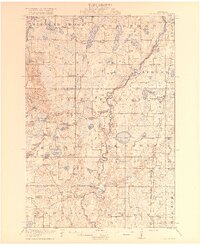
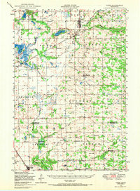
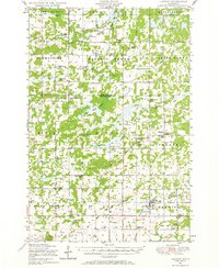
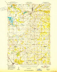
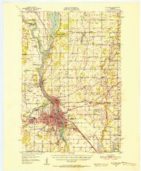
Other maps of this area
1916 · St. Francis
USGS Topo · 1:62,500
1919 · St. Francis
USGS Topo · 1:62,500
1948 · Pierz
USGS Topo · 1:62,500
1948 · Lastrup
USGS Topo · 1:62,500
1950 · Lastrup
USGS Topo · 1:62,500

1950 · Rush City
USGS Topo · 1:48,000
1950 · Pierz
USGS Topo · 1:62,500
1950 · St. Cloud
USGS Topo · 1:62,500

1951 · Annandale
USGS Topo · 1:62,500

1953 · Duluth
USGS Topo · 1:250,000