
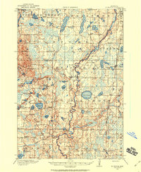
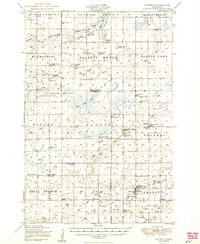
1991 Map of Mora
USGS Topo · Published 1991About this map
The Rum River flows south from Mille Lacs Lake through a landscape defined by glacial lakes and wetlands in the late twentieth century. This region of central Minnesota is anchored by several prominent hubs including Mora, Milaca, Cambridge, and Princeton, each serving as a center for the surrounding agricultural and timbered townships. The map documents an extensive network of conservation lands, including the Sherburne National Wildlife Refuge and the Rum River State Forest, alongside numerous smaller units like the Dalbo State Wildlife Management Area and Ann Lake State Wildlife Management Area.
Find a feature on this map
183 named features on this map. Tap any name to fly to it.
Don’t see what you’re looking for? This feature index may not catch every label — zoom into the map to look around manually.
Map Details
Editions of this 1991 Mora Map
This is the sole edition of this map. No revisions or reprints were ever made.
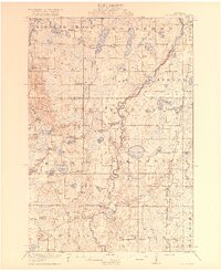
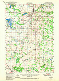
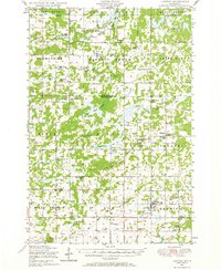
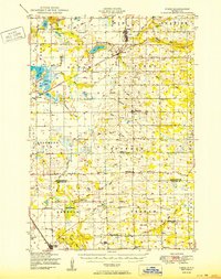
Other maps of this area
1916 · St. Francis
USGS Topo · 1:62,500
1919 · St. Francis
USGS Topo · 1:62,500
1948 · Pierz
USGS Topo · 1:62,500
1948 · Lastrup
USGS Topo · 1:62,500
1950 · Lastrup
USGS Topo · 1:62,500

1950 · Rush City
USGS Topo · 1:48,000
1950 · Pierz
USGS Topo · 1:62,500
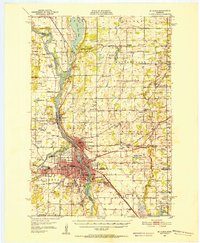
1950 · St. Cloud
USGS Topo · 1:62,500

1951 · Annandale
USGS Topo · 1:62,500

1953 · Duluth
USGS Topo · 1:250,000