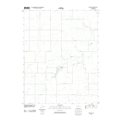
2009 Map of Moran SE
USGS Topo · Published 2009About this map
The Marmaton River and its several tributaries, including Jackie Branch Marmaton River, dominate this Bourbon County landscape. The area is defined by a strictly organized grid of rural roads such as California Rd and Native Rd, reflecting the agrarian structure of southeastern Kansas. At the heart of the quadrangle, the Bourbon County State Lake Dam impounds local waters, creating a significant geographical landmark in an otherwise open prairie-and-stream environment. For genealogists and local historians, the Hatch Cemetery stands as a notable point of interest, situated near the headwaters of Tennyson Creek and Schubert Creek. The map provides a detailed view of the rural infrastructure at the turn of the 21st century, showing the persistence of traditional farm-to-market routes and small-scale water management systems.
Find a feature on this map
31 named features on this map. Tap any name to fly to it.
Don’t see what you’re looking for? This feature index may not catch every label — zoom into the map to look around manually.
Map Details
Editions of this 2009 Moran SE Map
This is the sole edition of this map. No revisions or reprints were ever made.
Other maps of this area

1884 · Fort Scott
USGS Topo · 1:125,000

1886 · Iola
USGS Topo · 1:125,000

1886 · Fort Scott
USGS Topo · 1:125,000

1893 · Fort Scott
USGS Topo · 1:125,000

1893 · Iola
USGS Topo · 1:125,000

1904 · Iola
USGS Topo · 1:125,000

1947 · Joplin
USGS Topo · 1:250,000

1948 · Erie
USGS Topo · 1:62,500

1948 · Girard
USGS Topo · 1:62,500

1949 · Erie
USGS Topo · 1:62,500