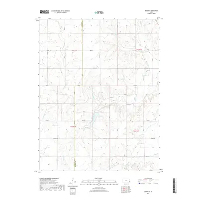
2018 Map of Moran SE
USGS Topo · Published 2018About this map
The Marmaton River and its complex network of tributaries define this rural landscape along the boundary of Allen and Bourbon counties. This modern topographic survey reveals a terrain deeply dissected by drainages like Wolfpen Creek, Schubert Cr, and Tennyson Cr, which create the undulating topography characteristic of eastern Kansas. While largely dominated by agricultural tracts and a geometric grid of rural roads, the map preserves significant local markers like Hatch Cem in the northeastern quadrant.
Find a feature on this map
46 named features on this map. Tap any name to fly to it.
Don’t see what you’re looking for? This feature index may not catch every label — zoom into the map to look around manually.
Map Details
Editions of this 2018 Moran SE Map
This is the sole edition of this map. No revisions or reprints were ever made.
Other maps of this area

1884 · Fort Scott
USGS Topo · 1:125,000

1886 · Iola
USGS Topo · 1:125,000

1886 · Fort Scott
USGS Topo · 1:125,000

1893 · Fort Scott
USGS Topo · 1:125,000

1893 · Iola
USGS Topo · 1:125,000

1904 · Iola
USGS Topo · 1:125,000

1947 · Joplin
USGS Topo · 1:250,000

1948 · Erie
USGS Topo · 1:62,500

1948 · Girard
USGS Topo · 1:62,500

1949 · Erie
USGS Topo · 1:62,500