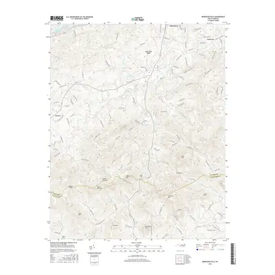
2016 Map of Moravian Falls
USGS Topo · Published 2016About this map
Moravian Falls and the southern outskirts of Wilkesboro anchor this 2016 study of the North Carolina foothills, where the Brushy Mountains divide the landscape between the S Yadkin River and the tributaries of the Yadkin. The terrain is defined by high peaks and strategic passes, including Pores Knob and Bald Rock Mtn, with Cove Gap and Kilby Gap serving as traditional transit points through the ridges.
Find a feature on this map
123 named features on this map. Tap any name to fly to it.
Don’t see what you’re looking for? This feature index may not catch every label — zoom into the map to look around manually.
Map Details
Editions of this 2016 Moravian Falls Map
This is the sole edition of this map. No revisions or reprints were ever made.
Other maps of this area

1889 · Wilkesboro
USGS Topo · 1:125,000

1891 · Wilkesboro
USGS Topo · 1:125,000

1895 · Hickory
USGS Topo · 1:125,000

1953 · Charlotte
USGS Topo · 1:250,000

1953 · Winston-Salem
USGS Topo · 1:250,000

1954 · Charlotte
USGS Topo · 1:250,000

1955 · Winston-Salem
USGS Topo · 1:250,000

1960 · Charlotte
USGS Topo · 1:250,000

1962 · Winston-Salem
USGS Topo · 1:250,000

1962 · Charlotte
USGS Topo · 1:250,000