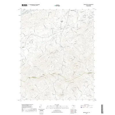
2019 Map of Moravian Falls
USGS Topo · Published 2019About this map
Moravian Falls and the surrounding foothills of the Brushy Mountains define this landscape south of Wilkesboro. The terrain is marked by sharp elevation changes at Pores Knob and numerous passes including Cove Gap, Kilby Gap, and Russell Gap. Settlement patterns follow the winding mountain roads and narrow creek valleys, with clusters of development near Oakwoods and Boomer. Water is a central element of the topography, from the headwaters of the South Yadkin River and Lower Little River to the smaller Yellow Jacket Lake. Genealogists and local historians can trace family land proximity to landmarks like Bald Rock Mtn or Lowe Mtn, as well as established community sites such as Lebanon Cemetery. The intricate network of rural routes, including Moravian Mill Road and Mount Olive Church Road, reveals the persistent layout of these Piedmont communities.
Find a feature on this map
127 named features on this map. Tap any name to fly to it.
Don’t see what you’re looking for? This feature index may not catch every label — zoom into the map to look around manually.
Map Details
Editions of this 2019 Moravian Falls Map
This is the sole edition of this map. No revisions or reprints were ever made.
Other maps of this area

1889 · Wilkesboro
USGS Topo · 1:125,000

1891 · Wilkesboro
USGS Topo · 1:125,000

1895 · Hickory
USGS Topo · 1:125,000

1953 · Charlotte
USGS Topo · 1:250,000

1953 · Winston-Salem
USGS Topo · 1:250,000

1954 · Charlotte
USGS Topo · 1:250,000

1955 · Winston-Salem
USGS Topo · 1:250,000

1960 · Charlotte
USGS Topo · 1:250,000

1962 · Winston-Salem
USGS Topo · 1:250,000

1962 · Charlotte
USGS Topo · 1:250,000