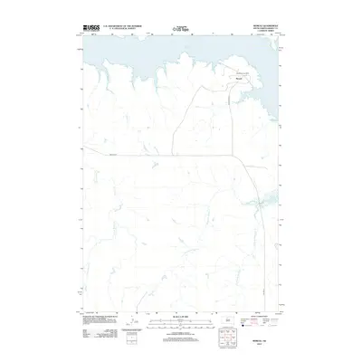
2012 Map of Moreau
USGS Topo · Published 2012About this map
Lake Oahe dominates the northern reaches of this Dewey County landscape, its expansive shoreline defining the local geography as it appeared in the early 21st century. The map centers on the small settlement of Moreau and the adjacent Blackfoot Community, which serve as the primary focal points of human activity in this rural expanse. A network of local infrastructure connects these points, including Blackfoot Rd and Promise Rd, while the southern portion of the quadrangle is accessed via BIA Hwy 8. The terrain is characterized by a series of drainages feeding into the Missouri River reservoir, notably Hokshela Cr and the various branches of No Mouth Creek, including W Fork No Mouth Cr and E Fork No Mouth Cr. These watercourses illustrate the complex drainage patterns of the northern plains, carved out before the area's hydrology was transformed by the lake's inundation.
Find a feature on this map
10 named features on this map. Tap any name to fly to it.
Don’t see what you’re looking for? This feature index may not catch every label — zoom into the map to look around manually.
Map Details
Editions of this 2012 Moreau Map
This is the sole edition of this map. No revisions or reprints were ever made.
Other maps of this area

1951 · Virginia
USGS Topo · 1:24,000

1951 · Promise
USGS Topo · 1:24,000

1953 · McIntosh
USGS Topo · 1:250,000

1958 · McIntosh
USGS Topo · 1:250,000

1968 · Moreau NW
USGS Topo · 1:24,000

1968 · Moreau NE
USGS Topo · 1:24,000

1968 · Moreau
USGS Topo · 1:24,000

1968 · Moreau SE
USGS Topo · 1:24,000

1969 · Four Bear Creek
USGS Topo · 1:24,000

1970 · Patch Skin Buttes
USGS Topo · 1:24,000