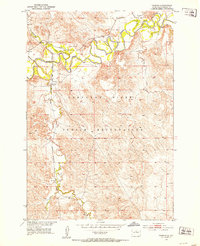
1951 Map of Promise
USGS Topo · Published 1954About this map
Promise sits at the heart of this mid-century survey within the Cheyenne River Indian Reservation, where the plains give way to the deeply incised valley of the Moreau River. The landscape is defined by the winding course of the river and its many tributaries, including Virgin Creek and Ducharme Creek, which carve through the breaks and uplands. This era captures the vital presence of the Chicago Milwaukee St Paul and Pacific railroad, which provided a critical link for this rural community before the significant shifts in mid-western transportation.
Find a feature on this map
12 named features on this map. Tap any name to fly to it.
Don’t see what you’re looking for? This feature index may not catch every label — zoom into the map to look around manually.
Map Details
Editions of this 1951 Promise Map
2 editions found

Other maps of this area
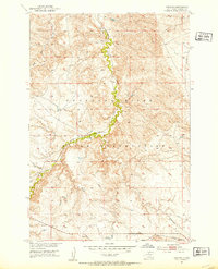
1951 · Virginia
USGS Topo · 1:24,000
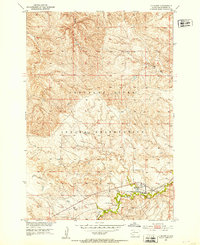
1951 · La Plant
USGS Topo · 1:24,000

1952 · Trail City SW
USGS Topo · 1:24,000

1953 · McIntosh
USGS Topo · 1:250,000

1958 · McIntosh
USGS Topo · 1:250,000

1968 · Moreau NW
USGS Topo · 1:24,000

1968 · Moreau
USGS Topo · 1:24,000

1970 · Patch Skin Buttes
USGS Topo · 1:24,000

1975 · Laundreaux Butte
USGS Topo · 1:24,000

1975 · Trail City
USGS Topo · 1:24,000