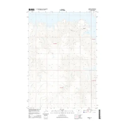
2015 Map of Moreau
USGS Topo · Published 2015About this map
Moreau sits near the northern shoreline of Lake Oahe in Dewey County, where the landscape is defined by the dendritic drainage patterns of the Missouri River plateau. This 2015 survey reveals a terrain deeply etched by seasonal waterways, most notably the winding paths of W Fork No Mouth Cr and E Fork No Mouth Cr which converge as they move toward the reservoir. The map illustrates the sparsely populated nature of District 6, with transportation limited to routes like Blackfoot Rd and BIA-809. The elevation contours highlight the dramatic breaks and bluffs that overlook the lake, while smaller tributaries such as Hokshela Cr and E Fork Beaver Cr carve through the western reaches of the quadrangle. It is a detailed look at the rural intersection of tribal land management and modern hydrologic engineering on the South Dakota plains.
Find a feature on this map
13 named features on this map. Tap any name to fly to it.
Don’t see what you’re looking for? This feature index may not catch every label — zoom into the map to look around manually.
Map Details
Editions of this 2015 Moreau Map
This is the sole edition of this map. No revisions or reprints were ever made.
Other maps of this area

1951 · Virginia
USGS Topo · 1:24,000

1951 · Promise
USGS Topo · 1:24,000

1953 · McIntosh
USGS Topo · 1:250,000

1958 · McIntosh
USGS Topo · 1:250,000

1968 · Moreau NW
USGS Topo · 1:24,000

1968 · Moreau NE
USGS Topo · 1:24,000

1968 · Moreau
USGS Topo · 1:24,000

1968 · Moreau SE
USGS Topo · 1:24,000

1969 · Four Bear Creek
USGS Topo · 1:24,000

1970 · Patch Skin Buttes
USGS Topo · 1:24,000