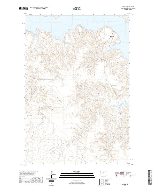
2021 Map of Moreau
USGS Topo · Published 2021About this map
Lake Oahe dominates the northern reaches of this Dewey County landscape, its indented shoreline reflecting the inundation of the Missouri River valley. The settlement of Moreau is situated near the reservoir's edge, serving as a focal point for the surrounding rural area. Genealogists and local historians will find the Ascension Cem located just north of the community, a critical landmark for tracing family roots in this part of South Dakota.
Find a feature on this map
14 named features on this map. Tap any name to fly to it.
Don’t see what you’re looking for? This feature index may not catch every label — zoom into the map to look around manually.
Map Details
Editions of this 2021 Moreau Map
This is the sole edition of this map. No revisions or reprints were ever made.
Other maps of this area

1951 · Virginia
USGS Topo · 1:24,000

1951 · Promise
USGS Topo · 1:24,000

1953 · McIntosh
USGS Topo · 1:250,000

1958 · McIntosh
USGS Topo · 1:250,000

1968 · Moreau NW
USGS Topo · 1:24,000

1968 · Moreau NE
USGS Topo · 1:24,000

1968 · Moreau
USGS Topo · 1:24,000

1968 · Moreau SE
USGS Topo · 1:24,000

1969 · Four Bear Creek
USGS Topo · 1:24,000

1970 · Patch Skin Buttes
USGS Topo · 1:24,000