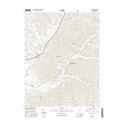
2016 Map of Morehead
USGS Topo · Published 2016About this map
Morehead serves as the focal point of this Eastern Kentucky landscape, where the campus of Morehead State University sits nestled against the wooded slopes of the Daniel Boone National Forest. The geography is defined by the winding course of Triplett Creek, which draws together smaller settlements like Clearfield and Brady. The survey reveals a region deeply marked by its local heritage, evidenced by dozens of family-named burial grounds including the Armstrong Family plot and Coffey-Riddle Cemetery. To the west and south, the terrain becomes increasingly complex around landmarks such as Limestone Knob, Amburgy Rocks, and Clack Mountain. For those following the Sheltowee Trace NRT, the map details the trail's path as it transitions from the forest ridges into the valley corridors, passing through neighborhoods like Rodburn and Christy.
Find a feature on this map
116 named features on this map. Tap any name to fly to it.
Don’t see what you’re looking for? This feature index may not catch every label — zoom into the map to look around manually.
Map Details
Editions of this 2016 Morehead Map
This is the sole edition of this map. No revisions or reprints were ever made.
Other maps of this area

1929 · Morehead
USGS Topo · 1:48,000

1929 · Salt Lick
USGS Topo · 1:62,500

1934 · Salt Lick
USGS Topo · 1:62,500

1935 · Morehead
USGS Topo · 1:62,500

1951 · Soldier
USGS Topo · 1:24,000

1951 · Cranston
USGS Topo · 1:24,000

1951 · Plummers Landing
USGS Topo · 1:24,000

1953 · Haldeman
USGS Topo · 1:24,000

1953 · Farmers
USGS Topo · 1:24,000

1953 · Bangor
USGS Topo · 1:24,000