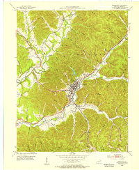
1953 Map of Morehead
USGS Topo · Published 1955About this map
The town of Morehead serves as a focal point for this 1953 topographic study, centered on the campus of State College and the industrial hub at Clearfield. The landscape is deeply carved by the North Fork Triplett Creek and Triplett Creek, which provide the valley floor for primary transportation routes like the Chesapeake and Ohio railroad and the Midland Trail. Local industry is evident through the Brick Kiln near Clearfield and various Strip Mines and an Incline Tramway scattered across the surrounding slopes.
Find a feature on this map
79 named features on this map. Tap any name to fly to it.
Don’t see what you’re looking for? This feature index may not catch every label — zoom into the map to look around manually.
Map Details
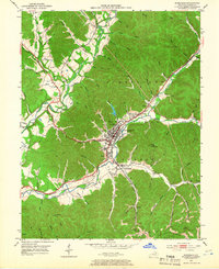
Editions of this 1953 Morehead Map
2 editions found
Other maps of this area

1929 · Morehead
USGS Topo · 1:48,000

1929 · Salt Lick
USGS Topo · 1:62,500

1934 · Salt Lick
USGS Topo · 1:62,500

1935 · Morehead
USGS Topo · 1:62,500

1951 · Soldier
USGS Topo · 1:24,000

1951 · Cranston
USGS Topo · 1:24,000

1951 · Plummers Landing
USGS Topo · 1:24,000

1953 · Haldeman
USGS Topo · 1:24,000

1953 · Farmers
USGS Topo · 1:24,000

1953 · Bangor
USGS Topo · 1:24,000