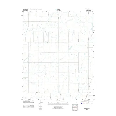
2012 Map of Morehead
USGS Topo · Published 2012About this map
Morehead and Brooks anchor this rural landscape in Neosho County, where the transition from agriculture to early twenty-first-century infrastructure is visible. The map records several small burial grounds essential for genealogical research, including Star Cem, Plainfield Cem, and Morehead Cem, which serve as quiet markers of the region's long-established farming families. The terrain is defined by a dendritic network of seasonal and perennial waterways like Chetopa Cr, Little Chetopa Cr, and Dry Cr, which shaped the early settlement patterns and road placements.
Find a feature on this map
38 named features on this map. Tap any name to fly to it.
Don’t see what you’re looking for? This feature index may not catch every label — zoom into the map to look around manually.
Map Details
Editions of this 2012 Morehead Map
This is the sole edition of this map. No revisions or reprints were ever made.
Other maps of this area

1886 · Fredonia
USGS Topo · 1:125,000

1886 · Iola
USGS Topo · 1:125,000

1886 · Independence
USGS Topo · 1:125,000

1886 · Parsons
USGS Topo · 1:125,000

1893 · Iola
USGS Topo · 1:125,000

1893 · Parsons
USGS Topo · 1:125,000

1894 · Fredonia
USGS Topo · 1:125,000

1894 · Independence
USGS Topo · 1:125,000

1904 · Iola
USGS Topo · 1:125,000

1905 · Independence
USGS Topo · 1:125,000