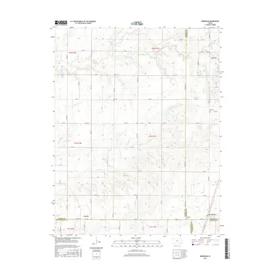
2015 Map of Morehead
USGS Topo · Published 2015About this map
Thayer anchors the northeastern portion of this Southeast Kansas survey, where the rolling prairies meet the convergence of four counties. The landscape is defined by the intersection of Wilson, Neosho, Montgomery, and Labette counties, with the settlement of Morehead marking the southern boundary line. This agricultural region is drained by a network of seasonal and perennial streams, including Chetopa Cr, Little Chetopa Cr, and Drum Cr.
Find a feature on this map
59 named features on this map. Tap any name to fly to it.
Don’t see what you’re looking for? This feature index may not catch every label — zoom into the map to look around manually.
Map Details
Editions of this 2015 Morehead Map
This is the sole edition of this map. No revisions or reprints were ever made.
Other maps of this area

1886 · Fredonia
USGS Topo · 1:125,000

1886 · Iola
USGS Topo · 1:125,000

1886 · Independence
USGS Topo · 1:125,000

1886 · Parsons
USGS Topo · 1:125,000

1893 · Iola
USGS Topo · 1:125,000

1893 · Parsons
USGS Topo · 1:125,000

1894 · Fredonia
USGS Topo · 1:125,000

1894 · Independence
USGS Topo · 1:125,000

1904 · Iola
USGS Topo · 1:125,000

1905 · Independence
USGS Topo · 1:125,000