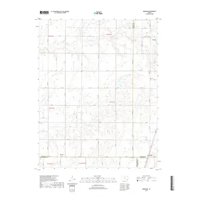
2018 Map of Morehead
USGS Topo · Published 2018About this map
The small community of Morehead sits at a geographic crossroads where Neosho, Labette, Wilson, and Montgomery Counties meet. This 2018 survey documents a predominantly agricultural landscape defined by a grid of rural roads and the meandering drainage of Drum Cr and Dry Cr. To the north, the town of Thayer anchors the corner of the map, while the settlement of Brooks is located near the southern boundary in Montgomery County. Family history is well-preserved through several local burial grounds, including Star Cem near the center of the sheet, Plainfield Cem to the east, and Morehead Cem further south. The terrain is dissected by numerous waterways such as Little Chetopa Cr and Washington Br, illustrating the importance of natural drainage to the region's farming layout.
Find a feature on this map
53 named features on this map. Tap any name to fly to it.
Don’t see what you’re looking for? This feature index may not catch every label — zoom into the map to look around manually.
Map Details
Editions of this 2018 Morehead Map
This is the sole edition of this map. No revisions or reprints were ever made.
Other maps of this area

1886 · Fredonia
USGS Topo · 1:125,000

1886 · Iola
USGS Topo · 1:125,000

1886 · Independence
USGS Topo · 1:125,000

1886 · Parsons
USGS Topo · 1:125,000

1893 · Iola
USGS Topo · 1:125,000

1893 · Parsons
USGS Topo · 1:125,000

1894 · Fredonia
USGS Topo · 1:125,000

1894 · Independence
USGS Topo · 1:125,000

1904 · Iola
USGS Topo · 1:125,000

1905 · Independence
USGS Topo · 1:125,000