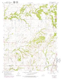
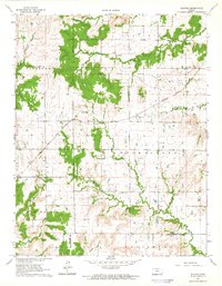
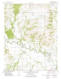
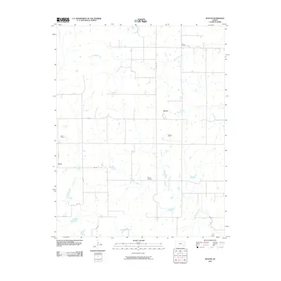
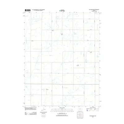
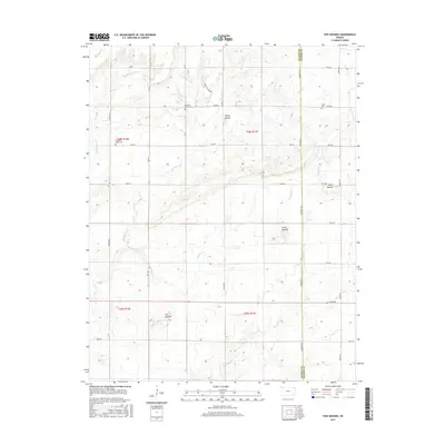
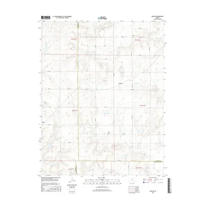
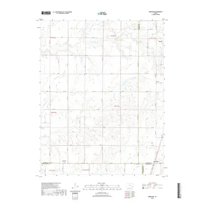
1963 Map of Morehead
USGS Topo · Published 1979About this map
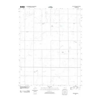
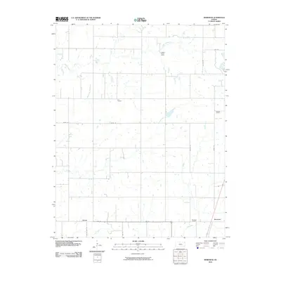
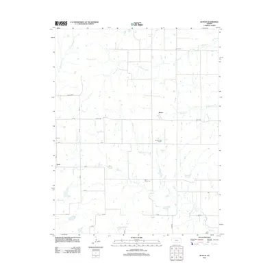
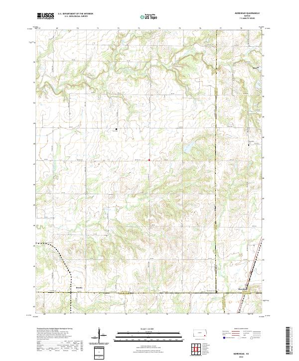
The Old Indian Treaty Boundary slices diagonally through this Kansas landscape, marking a significant historical line between township sections and county divisions. This 1963 survey, updated in the late 1970s, captures a transition in the local economy as numerous Oil Wells and a Quarry appear alongside established agricultural areas. The settlement of Morehead sits at the junction of four counties—Wilson, Neosho, Labette, and Montgomery—served by the Atchison Topeka and Santa Fe railroad line. To the west, the smaller community of Brooks is positioned along the St Louis-San Francisco tracks. Local social life and heritage are anchored by landmarks such as Harrison Ch and Hidden Haven Camp, while rural cemeteries like Star Cem and Plainfield Cem provide valuable records for family historians. The terrain is defined by the winding paths of Chetopa Creek and Drum Creek, which flow through the varied townships of Newark, Shiloh, and Chetopa.
Find a feature on this map
28 named features on this map. Tap any name to fly to it.
Don’t see what you’re looking for? This feature index may not catch every label — zoom into the map to look around manually.
Map Details
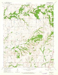
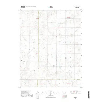
Editions of this 1963 Morehead Map
2 editions found
Historical Maps of Thayer Through Time
30 maps found
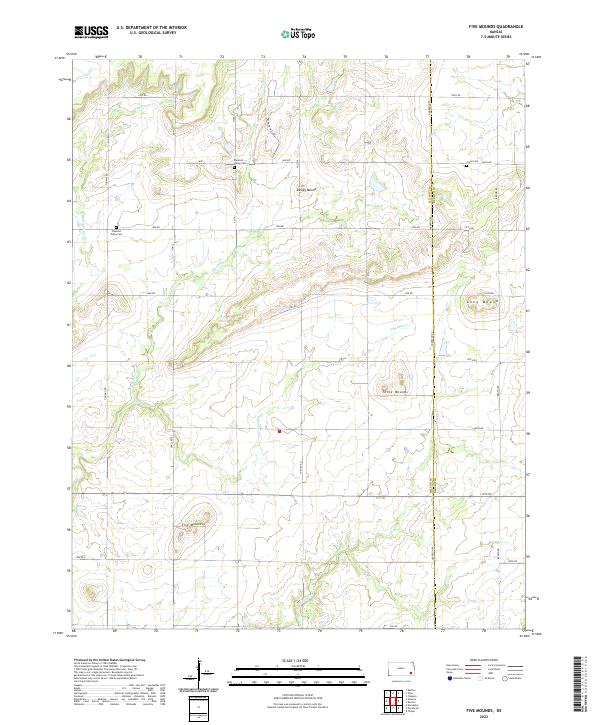
1963 Five Mounds
Wilson County, KS
1963 Morehead
Wilson County, KS
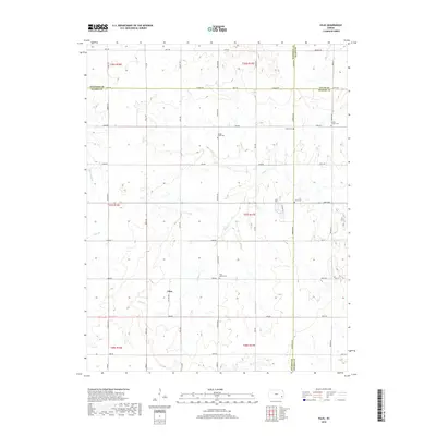
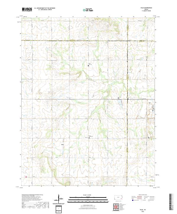
1963 Vilas
Wilson County, KS
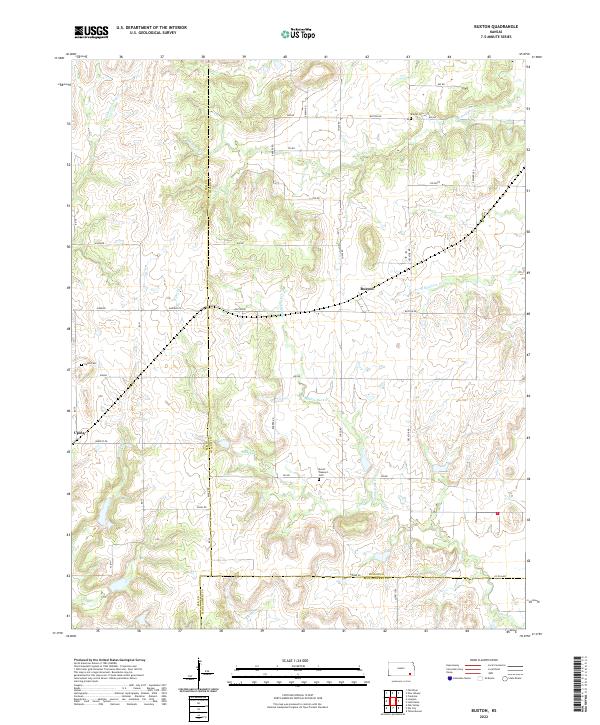
1964 Buxton
Wilson County, KS
1975 Middletown
Wilson County, KS
2009 Middletown
Wilson County, KS
2009 Vilas
Wilson County, KS
2010 Buxton
Wilson County, KS
2010 Five Mounds
Wilson County, KS
2010 Morehead
Wilson County, KS
2012 Buxton
Wilson County, KS
2012 Five Mounds
Wilson County, KS
2012 Middletown
Wilson County, KS
2012 Morehead
Wilson County, KS
2012 Vilas
Wilson County, KS
2015 Five Mounds
Wilson County, KS
2015 Middletown
Wilson County, KS
2015 Morehead
Wilson County, KS
2015 Vilas
Wilson County, KS
2016 Buxton
Wilson County, KS
2018 Buxton
Wilson County, KS
2018 Five Mounds
Wilson County, KS
2018 Middletown
Wilson County, KS
2018 Morehead
Wilson County, KS
2018 Vilas
Wilson County, KS
2022 Buxton
Wilson County, KS
2022 Five Mounds
Wilson County, KS
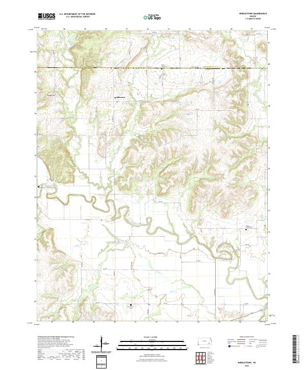
2022 Middletown
Wilson County, KS
2022 Morehead
Wilson County, KS
2022 Vilas
Wilson County, KS