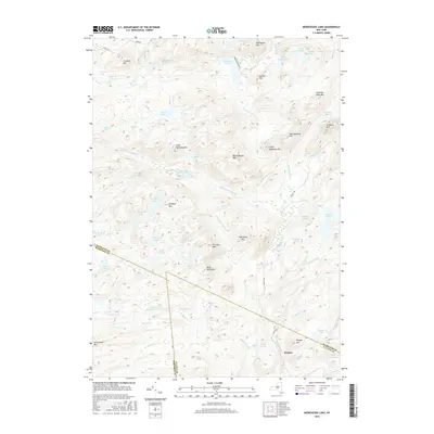
2016 Map of Morehouse Lake
USGS Topo · Published 2016About this map
Oregon sits as the primary settlement in this corner of the Adirondacks, positioned near the intersection of Piseco Rd and the Hamilton-Fulton county line. The landscape is dominated by a dense network of water bodies and high points, including Morehouse Lake and the nearby Morehouse Mtn. Significant drainage is provided by Goldmine Stream and the W Br E Canada Cr, illustrating the complex hydrology of this highland region.
Find a feature on this map
71 named features on this map. Tap any name to fly to it.
Don’t see what you’re looking for? This feature index may not catch every label — zoom into the map to look around manually.
Map Details
Editions of this 2016 Morehouse Lake Map
This is the sole edition of this map. No revisions or reprints were ever made.
Other maps of this area

1900 · Little Falls
USGS Topo · 1:62,500

1900 · Wilmurt
USGS Topo · 1:62,500

1901 · Lassellsville
USGS Topo · 1:62,500

1902 · Wilmurt
USGS Topo · 1:62,500

1903 · Lassellsville
USGS Topo · 1:62,500

1903 · Little Falls
USGS Topo · 1:62,500

1904 · Piseco Lake
USGS Topo · 1:62,500

1906 · Piseco Lake
USGS Topo · 1:62,500

1908 · Piseco Lake
USGS Topo · 1:62,500

1939 · Little Falls
USGS Topo · 1:62,500