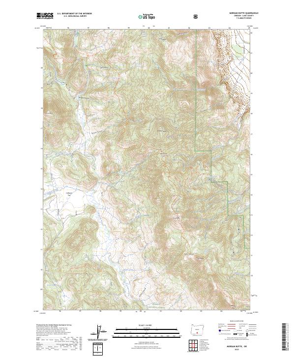
2023 Map of Morgan Butte
USGS Topo · Published 2023About this map
Fremont National Forest dominates this high-altitude landscape in Lake County, where the Chewaucan River carves a deep path through the terrain. The map documents a rugged system of canyons and buttes, notably Morgan Butte and Brattain Butte, which serve as prominent landmarks for navigation. Seasonal water sources and spring-fed streams like Schoolhouse Creek and Antelope Creek suggest the area's historical utility for ranching and forest management.
Find a feature on this map
51 named features on this map. Tap any name to fly to it.
Don’t see what you’re looking for? This feature index may not catch every label — zoom into the map to look around manually.
Map Details
Editions of this 2023 Morgan Butte Map
This is the sole edition of this map. No revisions or reprints were ever made.
Other maps of this area

1955 · Klamath Falls
USGS Topo · 1:250,000

1958 · Klamath Falls
USGS Topo · 1:250,000

1964 · Coleman Point
USGS Topo · 1:24,000

1964 · Shoestring Butte
USGS Topo · 1:24,000

1964 · Clover Flat
USGS Topo · 1:24,000

1966 · Morgan Butte
USGS Topo · 1:24,000

1966 · Tucker Hill
USGS Topo · 1:24,000

1966 · Slide Mtn
USGS Topo · 1:24,000

1966 · Coglan Buttes
USGS Topo · 1:24,000

1966 · Coffeepot Creek
USGS Topo · 1:24,000