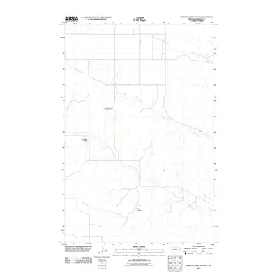
2011 Map of Morgan Creek School
USGS Topo · Published 2011About this map
Morgan Creek School (Historical) stands as a primary point of interest in this eastern Montana landscape, reflecting the rural educational foundations of Dawson County. The terrain is defined by a series of drainages and coulees, most notably Coal Mine Coulee and Plum Coulee, which cut through the open country. These natural features illustrate the drainage patterns feeding into major watercourses like Morgan Creek and the South Fork Thirteenmile Creek. The map documents a sparse, functional network of local roads including Road 521 and Road 540, which facilitate movement through the ranching and agricultural lands. For local historians, this survey preserves the exact location of the historical school site and the various named creeks, such as Lower Sevenmile Creek and Dry Creek, that have long dictated the placement of homesteads and livestock operations in this corner of the state.
Find a feature on this map
12 named features on this map. Tap any name to fly to it.
Don’t see what you’re looking for? This feature index may not catch every label — zoom into the map to look around manually.
Map Details
Editions of this 2011 Morgan Creek School Map
This is the sole edition of this map. No revisions or reprints were ever made.
Other maps of this area

1909 · Glendive
USGS Topo · 1:250,000

1954 · Glendive
USGS Topo · 1:250,000

1957 · Glendive
USGS Topo · 1:250,000

1958 · Glendive
USGS Topo · 1:250,000

1966 · Kolberg Ranch
USGS Topo · 1:24,000

1966 · Intake NW
USGS Topo · 1:24,000

1967 · Stipek
USGS Topo · 1:24,000

1972 · Red Top
USGS Topo · 1:24,000

1972 · Morgan Creek School
USGS Topo · 1:24,000

1972 · Poverty Flat West
USGS Topo · 1:24,000