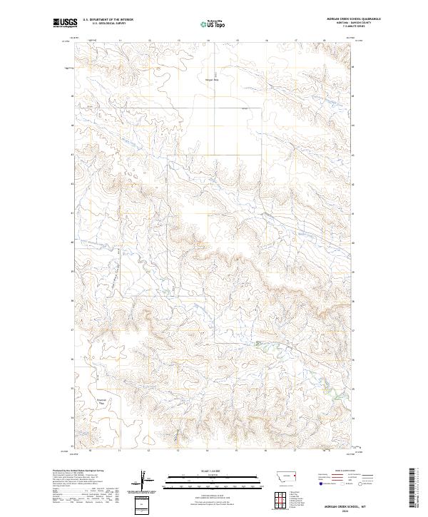
2024 Map of Morgan Creek School
USGS Topo · Published 2024About this map
Morgan Table and Threemile Table dominate this portion of Dawson County, where the high plains are deeply incised by a network of drainage coulees. The landscape is defined by its dramatic topographic shifts, particularly around Coal Mine Coulee and Plum Coulee, which channel seasonal runoff toward the larger creek systems. Waterways like Morgan Creek and Lower Sevenmile Creek wind through the township boundaries, illustrating the natural erosion patterns that have carved out the tablelands over time. This modern survey reflects the enduring rural character of eastern Montana, where the vast majority of the land is structured by the Public Land Survey System, with roads such as RD 540 and RD 521 following section lines across the open range.
Find a feature on this map
20 named features on this map. Tap any name to fly to it.
Don’t see what you’re looking for? This feature index may not catch every label — zoom into the map to look around manually.
Map Details
Editions of this 2024 Morgan Creek School Map
This is the sole edition of this map. No revisions or reprints were ever made.
Other maps of this area

1909 · Glendive
USGS Topo · 1:250,000

1954 · Glendive
USGS Topo · 1:250,000

1957 · Glendive
USGS Topo · 1:250,000

1958 · Glendive
USGS Topo · 1:250,000

1966 · Kolberg Ranch
USGS Topo · 1:24,000

1966 · Intake NW
USGS Topo · 1:24,000

1967 · Stipek
USGS Topo · 1:24,000

1972 · Red Top
USGS Topo · 1:24,000

1972 · Morgan Creek School
USGS Topo · 1:24,000

1972 · Poverty Flat West
USGS Topo · 1:24,000