Loading...
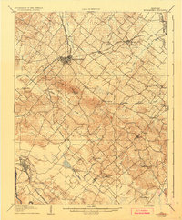
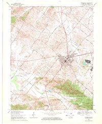
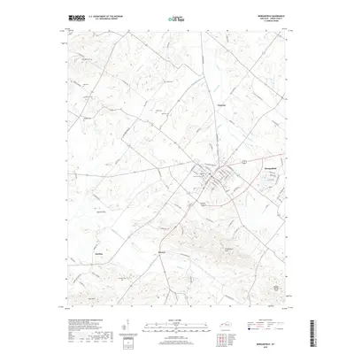
Loading map...1907 Map of Morganfield
USGS Topo · Published 1935About this map
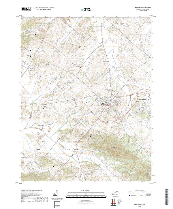
Morganfield serves as the central hub of this early twentieth-century landscape, where a dense network of rail lines including the Illinois Central RR and the Louisville and Nashville converge. The terrain is defined by the prominent Chalybeate Ridge, home to Chalybeate Spring, and a complex drainage system flowing toward the Tradewater River in the south. Smaller rural communities like Seven Gums, Boxville, and Bordley are scattered throughout, each connected by a winding web of country roads.
Find a feature on this map
51 named features on this map. Tap any name to fly to it.
Don’t see what you’re looking for? This feature index may not catch every label — zoom into the map to look around manually.
Map Details
Date Portrayed1907
Date Published1935
PublisherU.S. Geological Survey
Map TypeTopographic
Scale1:62,500
Physical Dimensions16.6 x 20 inches
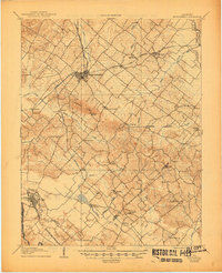
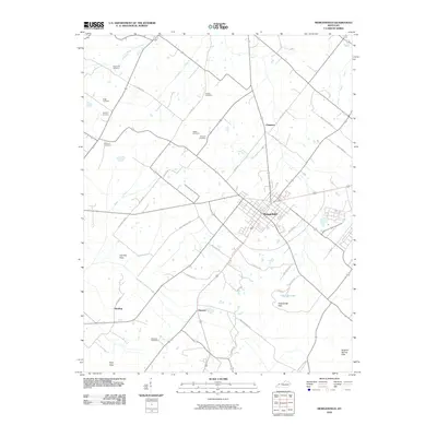
Editions of this 1907 Morganfield Map
3 editions found

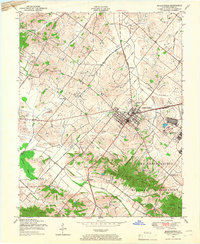
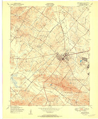
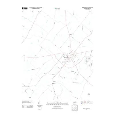
Historical Maps of Morganfield Through Time
9 maps found
Featured Locations
Source Details
SourceU.S. Geological Survey
CopyrightPublic Domain