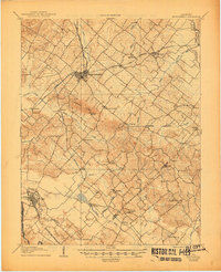
1907 Map of Morganfield
USGS Topo · Published 1945About this map
Morganfield serves as the focal point of this Union County survey, where the Illinois Central R R (Uniontown Branch) and the Illinois Central R R main line intersect to form a vital early 20th-century transportation hub. The landscape is dotted with rural centers such as Waverly, St Vincent, and Bordley, reflecting a settlement pattern deeply connected to the region's agricultural and mineral resources. To the south, Sturgis sits near the Tradewater River, marking the gateway to the Coal Hills and the neighboring borders of Crittenden and Webster counties.
Find a feature on this map
52 named features on this map. Tap any name to fly to it.
Don’t see what you’re looking for? This feature index may not catch every label — zoom into the map to look around manually.
Map Details
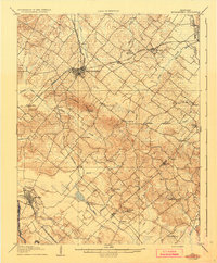
Editions of this 1907 Morganfield Map
3 editions found
Other maps of this area

1905 · New Haven
USGS Topo · 1:62,500

1906 · New Haven
USGS Topo · 1:62,500

1906 · Sebree
USGS Topo · 1:62,500

1907 · Earlington
USGS Topo · 1:48,000

1907 · Morganfield
USGS Topo · 1:62,500

1909 · Earlington
USGS Topo · 1:62,500

1909 · Providence
USGS Topo · 1:62,500

1914 · Henderson
USGS Topo · 1:48,000

1916 · Shawneetown
USGS Topo · 1:62,500

1916 · Fords Ferry
USGS Topo · 1:62,500