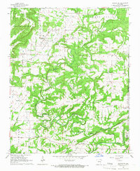
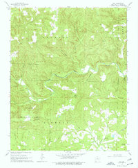
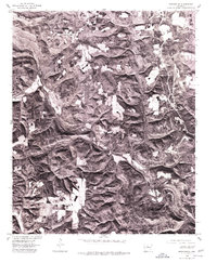
1961 Map of Morganton
USGS Topo · Published 1966This historical map portrays the area of Morganton in 1961, primarily covering Van Buren County as well as portions of Cleburne County. Featuring a scale of 1:24000, this map provides a highly detailed snapshot of the terrain, roads, buildings, counties, and historical landmarks in the Morganton region at the time. Published in 1966, it is one of 2 known editions of this map due to revisions or reprints.
Find a feature on this map
45 named features on this map. Tap any name to fly to it.
Don’t see what you’re looking for? This feature index may not catch every label — zoom into the map to look around manually.
Map Details
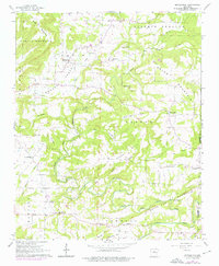
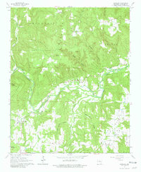
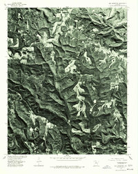
Editions of this 1961 Morganton Map
2 editions found
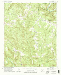
Historical Maps of Van Buren County Through Time
11 maps found
1961 Morganton
Van Buren County, AR
1965 Alread
Van Buren County, AR
1965 Botkinburg
Van Buren County, AR
1965 Rex
Van Buren County, AR
1965 Scotland
Van Buren County, AR
1973 Old Lexington
Van Buren County, AR
1974 Smyrna SE
Van Buren County, AR
1976 Botkinburg
Van Buren County, AR
1976 Old Lexington
Van Buren County, AR
1980 Lost Corner
Van Buren County, AR

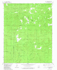
1989 Morganton
Van Buren County, AR