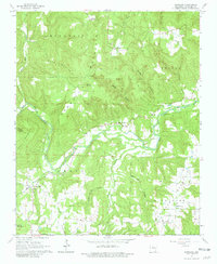
1965 Map of Scotland
USGS Topo · Published 1981About this map
The settlement of Scotland serves as a focal point in this 1965 survey of the Arkansas interior, situated near the headwaters of the Scotland Branch. The landscape is defined by the winding course of the Little Red River, particularly its West Fork and South Fork, which carve through the high terrain of Long Mountain and Culpepper Mountain. These valleys were once home to small, dispersed communities like Walnut Grove and Culpepper, which were connected by winding rural routes such as Ark. 27.
Find a feature on this map
40 named features on this map. Tap any name to fly to it.
Don’t see what you’re looking for? This feature index may not catch every label — zoom into the map to look around manually.
Map Details
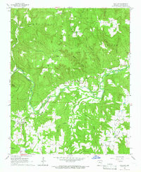
Editions of this 1965 Scotland Map
2 editions found
Other maps of this area

1892 · Marshall
USGS Topo · 1:125,000

1892 · Mountain View
USGS Topo · 1:125,000

1892 · Morrillton
USGS Topo · 1:125,000

1894 · Mountain View
USGS Topo · 1:125,000

1894 · Morrillton
USGS Topo · 1:125,000

1894 · Marshall
USGS Topo · 1:125,000

1901 · Marshall
USGS Topo · 1:125,000

1956 · Russellville
USGS Topo · 1:250,000

1961 · Bee Branch
USGS Topo · 1:62,500

1961 · Bee Branch
USGS Topo · 1:24,000