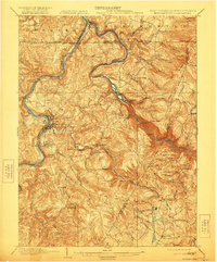
1979 Map of Morgantown
USGS Topo · Published 1983About this map
The Mason and Dixon Line serves as the central axis for this tri-state study, documenting the complex intersection of northern West Virginia, southwestern Pennsylvania, and western Maryland. The urban centers of Morgantown and Uniontown anchor the western portion, while the terrain to the east is defined by the massive parallel ridges of Chestnut Ridge, Laurel Hill, and Negro Mountain. This map captures a significant recreational and industrial corridor just as modern highways like U.S. 48 were formalizing regional transit.
Find a feature on this map
91 named features on this map. Tap any name to fly to it.
Don’t see what you’re looking for? This feature index may not catch every label — zoom into the map to look around manually.
Map Details
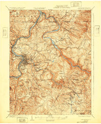
Editions of this 1979 Morgantown Map
This is the sole edition of this map. No revisions or reprints were ever made.
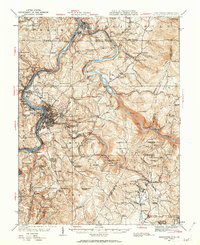
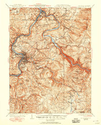
Historical Maps of Morgantown Through Time
5 maps found