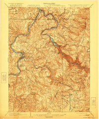
1902 Map of Morgantown
USGS Topo · Published 1922About this map
The Monongahela River and Cheat River converge in this corner of West Virginia and Pennsylvania, anchoring a landscape of early industrial sites and expanding rail lines. Industrial heritage is central to the area, evidenced by the Clay Furnace, Clinton Furnace, and the Laurel Iron Works near the West Virginia line. The city of Morgantown is shown as it transitions into a regional hub, featuring the University and State Farm while serving as a junction for the Baltimore and Ohio and the Morgantown and Kingwood railroads. Transport along the river remains vital, marked by Lock No 9 and Lock No 10, while small landings like Maidsville Landing and Ice's Ferry highlight the river-centered economy. To the east, the steep rise of Chestnut Ridge and landmarks like Cooper Rock and Cheat View overlook the winding river gorge.
Find a feature on this map
100 named features on this map. Tap any name to fly to it.
Don’t see what you’re looking for? This feature index may not catch every label — zoom into the map to look around manually.
Map Details
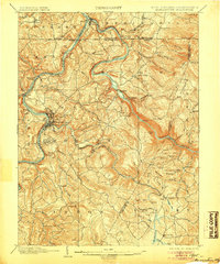
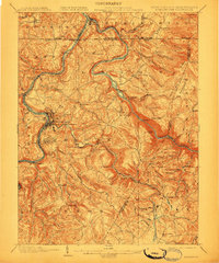
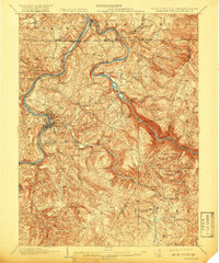
Editions of this 1902 Morgantown Map
5 editions found
Other maps of this area

1886 · St. George
USGS Topo · 1:125,000

1891 · St. George
USGS Topo · 1:125,000

1900 · Uniontown
USGS Topo · 1:62,500

1900 · Masontown
USGS Topo · 1:62,500

1901 · Waynesburg
USGS Topo · 1:62,500

1902 · Fairmont
USGS Topo · 1:62,500

1902 · Morgantown
USGS Topo · 1:62,500

1903 · Masontown
USGS Topo · 1:62,500

1904 · Bruceton
USGS Topo · 1:62,500

1904 · Blacksville
USGS Topo · 1:62,500