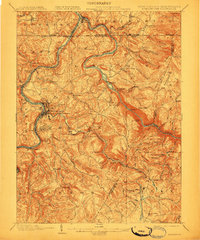
1902 Map of Morgantown
USGS Topo · Published 1910About this map
Morgantown serves as the focal point of this regional study, which details the early industrial and educational character of Monongalia County at the turn of the century. The University sits near the bend of the Monongahela River, while the steep eastern hills are marked by the remnants of the iron industry, including Clinton Furnace, Clay Furnace, and the Laurel Iron Works near Ice's Ferry. The convergence of the Cheat River and the Monongahela defines the northern border at Point Marion, illustrating how waterways shaped early commerce.
Find a feature on this map
99 named features on this map. Tap any name to fly to it.
Don’t see what you’re looking for? This feature index may not catch every label — zoom into the map to look around manually.
Map Details
Editions of this 1902 Morgantown Map
5 editions found
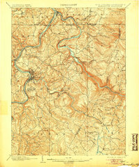
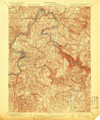
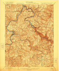
Other maps of this area

1886 · St. George
USGS Topo · 1:125,000

1891 · St. George
USGS Topo · 1:125,000

1900 · Uniontown
USGS Topo · 1:62,500

1900 · Masontown
USGS Topo · 1:62,500

1901 · Waynesburg
USGS Topo · 1:62,500

1902 · Fairmont
USGS Topo · 1:62,500

1902 · Morgantown
USGS Topo · 1:62,500

1903 · Masontown
USGS Topo · 1:62,500

1904 · Bruceton
USGS Topo · 1:62,500

1904 · Blacksville
USGS Topo · 1:62,500