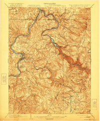
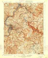
1933 Map of Morgantown
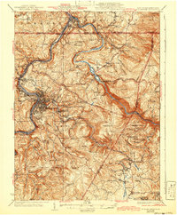
USGS Topo · Published 1951About this map
The Monongahela River and Cheats River define the industrial and agricultural landscape of this northern West Virginia and southern Pennsylvania borderland. In the early 1930s, Morgantown serves as the regional hub, flanked by industrial sites like the Maidsville PO and Sta and the Sabraton Sta. The terrain is marked by remnants of early iron production, including the Laurel Iron Works, Clay Furnace, and Clinton Furnace, illustrating the transition from nineteenth-century resource extraction to a more modern infrastructure centered on the Baltimore and Ohio Railroad. To the east, the recent impoundment of Cheat Lake and the dramatic relief of Chestnut Ridge contrast with the dense network of rural schools and churches, such as the Forks of Cheat Church and Pleasant Hill School, which anchored the surrounding mountain communities.
Find a feature on this map
140 named features on this map. Tap any name to fly to it.
Don’t see what you’re looking for? This feature index may not catch every label — zoom into the map to look around manually.
Map Details
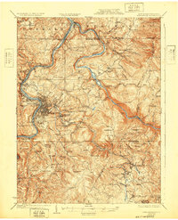
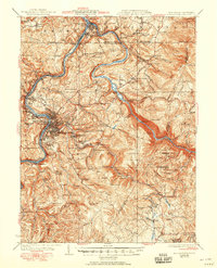
Editions of this 1933 Morgantown Map
3 editions found
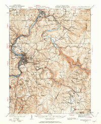
Historical Maps of Morgantown Through Time
5 maps found