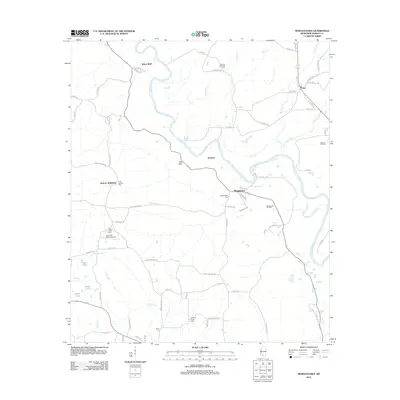
2012 Map of Morgantown
USGS Topo · Published 2012About this map
The Pearl River winds through this Marion County landscape, defining the character of small communities like Morgantown and Newsom. At this time in the early 21st century, the region's economy remains tied to the land, evidenced by the Morgantown Oil Field, Greens Creek Oil Field, and Newson Oil Field. These industrial sites are interspersed with the quiet markers of local heritage, including Holly Springs Cem, Mount Sinai Cem, and Richland Creek Cem.
Find a feature on this map
79 named features on this map. Tap any name to fly to it.
Don’t see what you’re looking for? This feature index may not catch every label — zoom into the map to look around manually.
Map Details
Editions of this 2012 Morgantown Map
This is the sole edition of this map. No revisions or reprints were ever made.
Other maps of this area

1953 · Hattiesburg
USGS Topo · 1:250,000

1953 · Natchez
USGS Topo · 1:250,000

1956 · Natchez
USGS Topo · 1:250,000

1958 · Hattiesburg
USGS Topo · 1:250,000

1959 · Natchez
USGS Topo · 1:250,000

1970 · Columbia South
USGS Topo · 1:24,000

1970 · Sandy Hook NW
USGS Topo · 1:24,000

1970 · Kokomo
USGS Topo · 1:24,000

1970 · Bunker Hill
USGS Topo · 1:24,000

1970 · Darbun
USGS Topo · 1:24,000