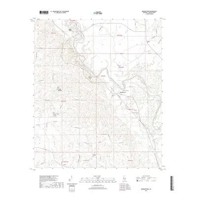
2018 Map of Morgantown
USGS Topo · Published 2018About this map
The Pearl River dictates the landscape of Marion County in this contemporary survey, winding past the notable geological formation at Red Bluff. This area, characterized by a series of small, interconnected rural communities, shows a pattern of settlement anchored by family-named roads and numerous country burial grounds. From the northern bend at White Bluff down through Newsom and Morgantown, the geography is defined by a network of creeks including Richland Cr and Holiday Cr. Local history is preserved in the location of several significant sites such as Richland Creek Cem and Oak Grove Cem. Aviation interests are represented by the Circle Bar Ranch Airport, which sits among the dispersed homesteads and farms of the Holly Springs area, illustrating the enduring rural character of this southern Mississippi river valley.
Find a feature on this map
71 named features on this map. Tap any name to fly to it.
Don’t see what you’re looking for? This feature index may not catch every label — zoom into the map to look around manually.
Map Details
Editions of this 2018 Morgantown Map
This is the sole edition of this map. No revisions or reprints were ever made.
Other maps of this area

1953 · Hattiesburg
USGS Topo · 1:250,000

1953 · Natchez
USGS Topo · 1:250,000

1956 · Natchez
USGS Topo · 1:250,000

1958 · Hattiesburg
USGS Topo · 1:250,000

1959 · Natchez
USGS Topo · 1:250,000

1970 · Columbia South
USGS Topo · 1:24,000

1970 · Sandy Hook NW
USGS Topo · 1:24,000

1970 · Kokomo
USGS Topo · 1:24,000

1970 · Bunker Hill
USGS Topo · 1:24,000

1970 · Darbun
USGS Topo · 1:24,000