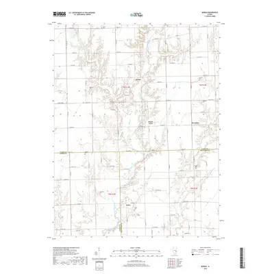
2018 Map of Moriah
USGS Topo · Published 2018About this map
Moriah and Hogue Town anchor this rural landscape in Clark County, where the north-south drainage of the North Fork Embarras River carves into the agricultural tableland of East Central Illinois. The map captures a high density of local cemeteries, including Backbone Cem and Restitution Cem, which serve as vital markers of the area's 19th-century pioneer settlement patterns and family genealogy.
Find a feature on this map
55 named features on this map. Tap any name to fly to it.
Don’t see what you’re looking for? This feature index may not catch every label — zoom into the map to look around manually.
Map Details
Editions of this 2018 Moriah Map
This is the sole edition of this map. No revisions or reprints were ever made.
Other maps of this area

1933 · Toledo
USGS Topo · 1:62,500

1936 · Casey
USGS Topo · 1:48,000

1938 · Toledo
USGS Topo · 1:62,500

1940 · Greenup
USGS Topo · 1:62,500

1942 · Casey
USGS Topo · 1:62,500

1943 · Greenup
USGS Topo · 1:62,500

1943 · Casey
USGS Topo · 1:62,500

1953 · Indianapolis
USGS Topo · 1:250,000

1956 · Indianapolis
USGS Topo · 1:250,000

1956 · Annapolis
USGS Topo · 1:62,500