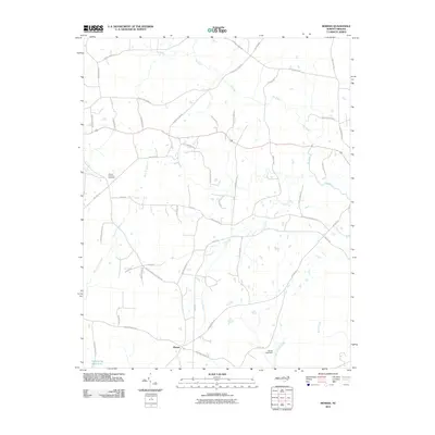
2010 Map of Moriah
USGS Topo · Published 2010About this map
Moriah sits at a historic crossroads in southern Person County, where the upper reaches of the Tar River and its numerous tributaries shape the landscape. In this 2010 survey, the area maintains its rural character, defined by a dense network of family-named roads such as Lonnie Gentry Rd, Jim Latta Rd, and George Sherman Rd. These paths connect long-established sites like the Mount Harmony Cemetery, which serves as a significant landmark for local genealogical research. To the southwest, the Pyrophyllite Mine Lake indicates the region's industrial ties to mineral extraction. The drainage patterns of Cub Creek and Knap of Reeds Creek further illustrate the transition from upland ridges to the river valley, while Uzzles Lake Dam marks a point of modern water management within this traditional Piedmont landscape.
Find a feature on this map
52 named features on this map. Tap any name to fly to it.
Don’t see what you’re looking for? This feature index may not catch every label — zoom into the map to look around manually.
Map Details
Editions of this 2010 Moriah Map
This is the sole edition of this map. No revisions or reprints were ever made.
Other maps of this area

1943 · Roxboro
USGS Topo · 1:62,500

1943 · Creedmoor
USGS Topo · 1:62,500

1944 · Creedmoor
USGS Topo · 1:62,500

1951 · Durham North
USGS Topo · 1:62,500

1953 · Oxford
USGS Topo · 1:62,500

1953 · Greensboro
USGS Topo · 1:250,000

1954 · Greensboro
USGS Topo · 1:250,000

1962 · Greensboro
USGS Topo · 1:250,000

1966 · Greensboro
USGS Topo · 1:250,000

1966 · Oxford
USGS Topo · 1:62,500