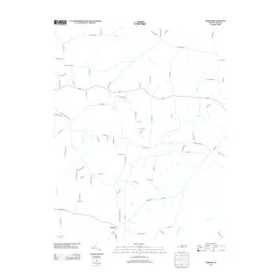
2013 Map of Moriah
USGS Topo · Published 2013About this map
The settlement of Moriah serves as a central point in this rural landscape, situated just north of the Knap of Reeds Cr headwaters. This 2013 survey illustrates a region defined by its hydrology and history of extraction, most notably at the Pyrophyllite Mine Lake near the southwestern corner. The northern territory is dominated by the winding course of the Tar River, which is fed by numerous tributaries including Cub Cr and Rock Fork Br. A dense network of local roads reveals the area's agricultural and social fabric, with routes like Thomas Store Rd and Dennys Store Rd hinting at former centers of commerce, while Tingen Mine Rd and Days Mill Rd point toward past industrial activity. The presence of Old Roxboro Rd provides a look at the historical transit patterns that once connected this portion of Person County.
Find a feature on this map
75 named features on this map. Tap any name to fly to it.
Don’t see what you’re looking for? This feature index may not catch every label — zoom into the map to look around manually.
Map Details
Editions of this 2013 Moriah Map
This is the sole edition of this map. No revisions or reprints were ever made.
Other maps of this area

1943 · Roxboro
USGS Topo · 1:62,500

1943 · Creedmoor
USGS Topo · 1:62,500

1944 · Creedmoor
USGS Topo · 1:62,500

1951 · Durham North
USGS Topo · 1:62,500

1953 · Oxford
USGS Topo · 1:62,500

1953 · Greensboro
USGS Topo · 1:250,000

1954 · Greensboro
USGS Topo · 1:250,000

1962 · Greensboro
USGS Topo · 1:250,000

1966 · Greensboro
USGS Topo · 1:250,000

1966 · Oxford
USGS Topo · 1:62,500