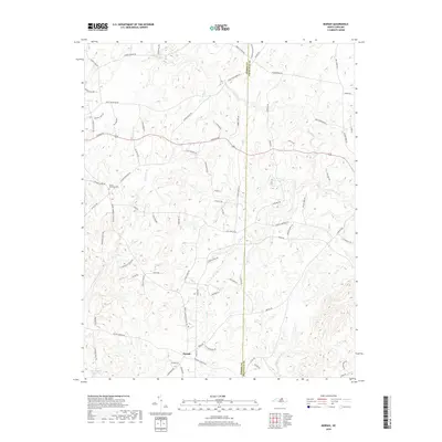
2019 Map of Moriah
USGS Topo · Published 2019About this map
Moriah serves as the focal point for this landscape along the border of Person and Granville Counties. The terrain is defined by the winding headwaters of the Tar River, which cuts across the northern and eastern sections of the quadrangle. Significant water features including Rock Fork Br, Crib Cr, and Knap of Reeds Cr drain the surrounding hills, illustrating the natural drainage patterns that have long influenced local settlement.
Find a feature on this map
81 named features on this map. Tap any name to fly to it.
Don’t see what you’re looking for? This feature index may not catch every label — zoom into the map to look around manually.
Map Details
Editions of this 2019 Moriah Map
This is the sole edition of this map. No revisions or reprints were ever made.
Other maps of this area

1943 · Roxboro
USGS Topo · 1:62,500

1943 · Creedmoor
USGS Topo · 1:62,500

1944 · Creedmoor
USGS Topo · 1:62,500

1951 · Durham North
USGS Topo · 1:62,500

1953 · Oxford
USGS Topo · 1:62,500

1953 · Greensboro
USGS Topo · 1:250,000

1954 · Greensboro
USGS Topo · 1:250,000

1962 · Greensboro
USGS Topo · 1:250,000

1966 · Greensboro
USGS Topo · 1:250,000

1966 · Oxford
USGS Topo · 1:62,500