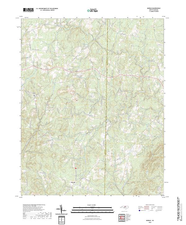
2022 Map of Moriah
USGS Topo · Published 2022About this map
Moriah sits at the heart of this landscape where the Person Co and Granville Co line divides the terrain. The area is defined by the headwaters and tributaries of the Tar River, with Rock Fork Br and Cub Cr carving through the countryside. This rural crossroads region maintains a strong connection to its local heritage, centered around landmarks like Mount Harmony Church and the adjacent Mount Harmony Cem.
Find a feature on this map
79 named features on this map. Tap any name to fly to it.
Don’t see what you’re looking for? This feature index may not catch every label — zoom into the map to look around manually.
Map Details
Editions of this 2022 Moriah Map
This is the sole edition of this map. No revisions or reprints were ever made.
Other maps of this area

1943 · Roxboro
USGS Topo · 1:62,500

1943 · Creedmoor
USGS Topo · 1:62,500

1944 · Creedmoor
USGS Topo · 1:62,500

1951 · Durham North
USGS Topo · 1:62,500

1953 · Oxford
USGS Topo · 1:62,500

1953 · Greensboro
USGS Topo · 1:250,000

1954 · Greensboro
USGS Topo · 1:250,000

1962 · Greensboro
USGS Topo · 1:250,000

1966 · Greensboro
USGS Topo · 1:250,000

1966 · Oxford
USGS Topo · 1:62,500