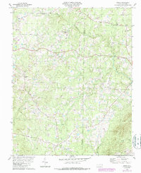
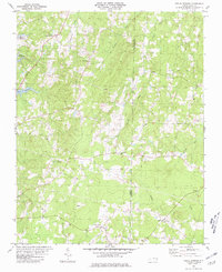
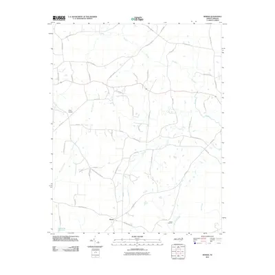
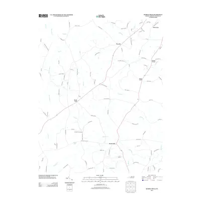
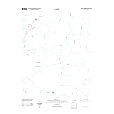
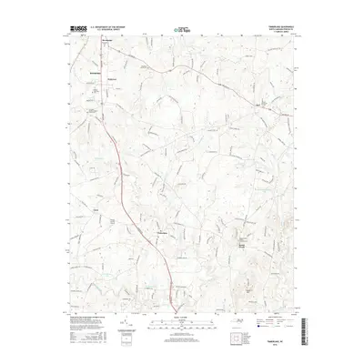
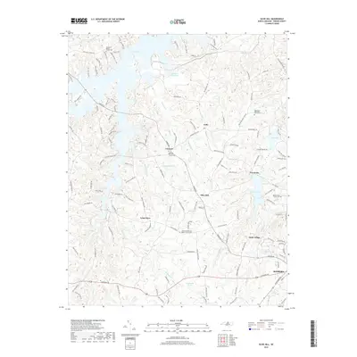
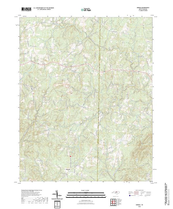
1981 Map of Moriah
USGS Topo · Published 1987About this map
Moriah and its surrounding countryside along the Person and Granville county line are characterized by a dense network of rural congregations and watercourses. During the early 1980s, the landscape was anchored by small community centers like Subuta and Knap of Reeds, with social life centered around numerous country churches such as Bethany Ch and Goshen Chapel. The drainage of the Flat River and its tributaries, including Rocky Creek and Coon Creek, dictates the undulating topography of the region.
Find a feature on this map
19 named features on this map. Tap any name to fly to it.
Don’t see what you’re looking for? This feature index may not catch every label — zoom into the map to look around manually.
Map Details
Editions of this 1981 Moriah Map
2 editions found
Historical Maps of Moriah Through Time
31 maps found
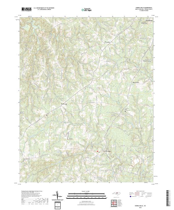
1968 Hurdle Mills
Person County, NC
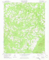
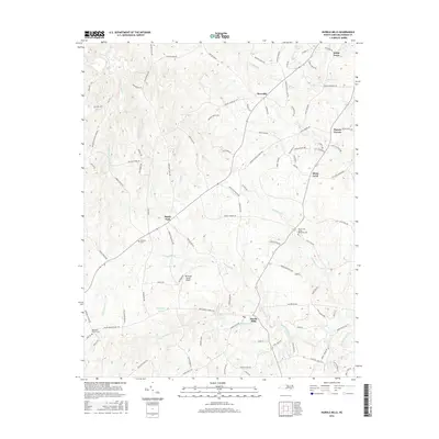
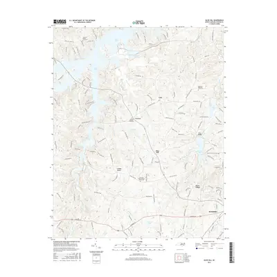
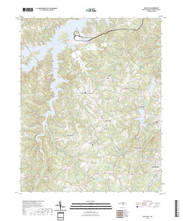
1968 Olive Hill
Person County, NC
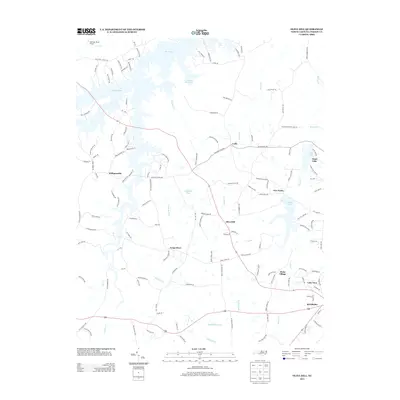
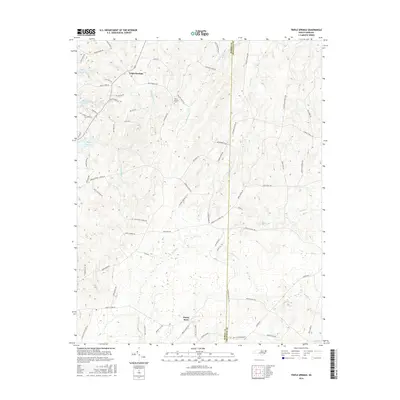
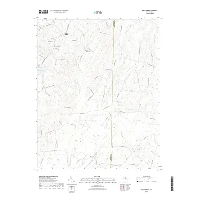
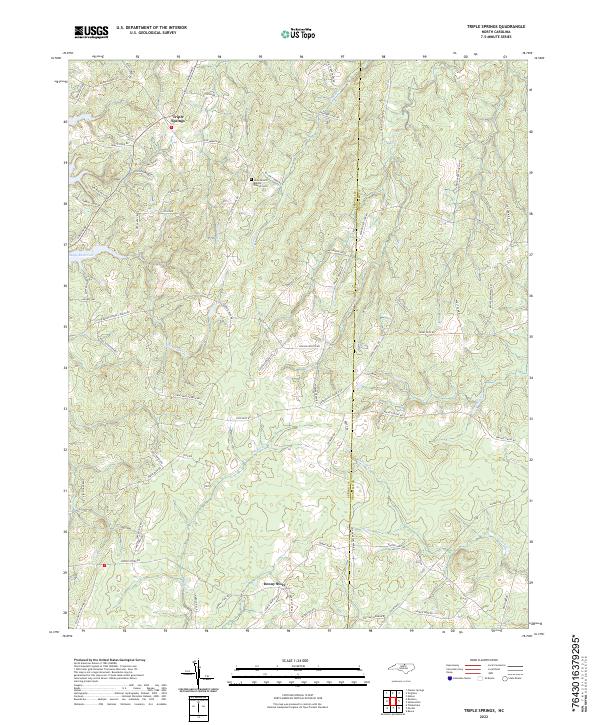
1980 Triple Springs
Person County, NC
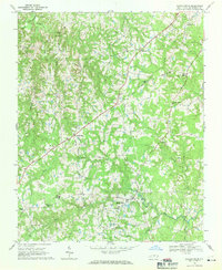
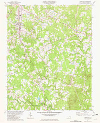
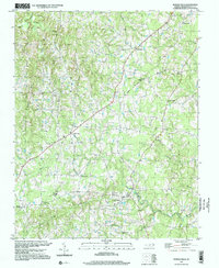
1981 Moriah
Person County, NC
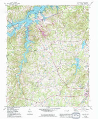
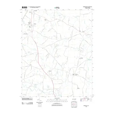
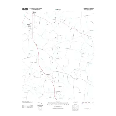
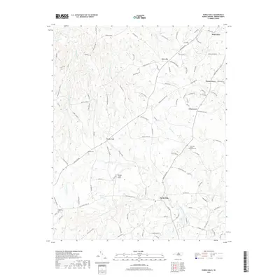
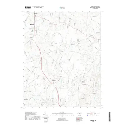
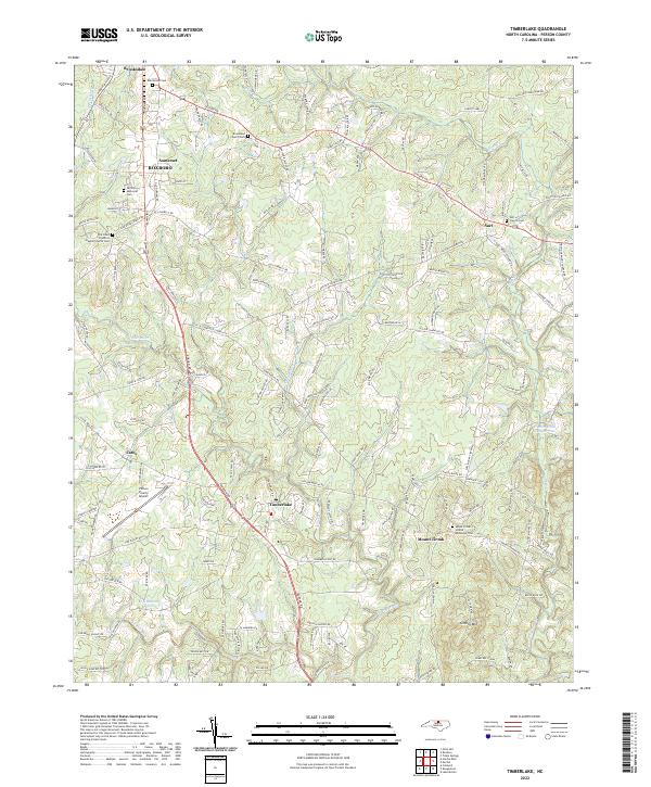
1981 Timberlake
Person County, NC
1997 Hurdle Mills
Person County, NC
2010 Hurdle Mills
Person County, NC
2010 Moriah
Person County, NC
2010 Timberlake
Person County, NC
2010 Triple Springs
Person County, NC
2011 Olive Hill
Person County, NC
2013 Hurdle Mills
Person County, NC
2013 Moriah
Person County, NC
2013 Olive Hill
Person County, NC
2013 Timberlake
Person County, NC
2013 Triple Springs
Person County, NC
2016 Hurdle Mills
Person County, NC
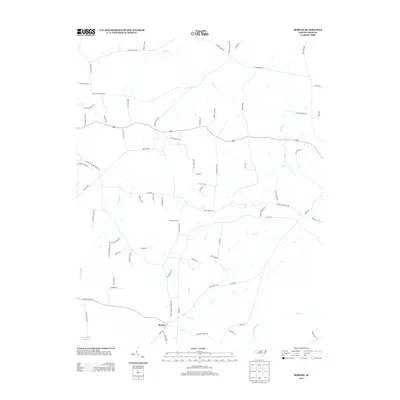
2016 Moriah
Person County, NC
2016 Olive Hill
Person County, NC
2016 Timberlake
Person County, NC
2016 Triple Springs
Person County, NC
2019 Hurdle Mills
Person County, NC
2019 Moriah
Person County, NC
2019 Olive Hill
Person County, NC
2019 Timberlake
Person County, NC
2019 Triple Springs
Person County, NC
2022 Hurdle Mills
Person County, NC
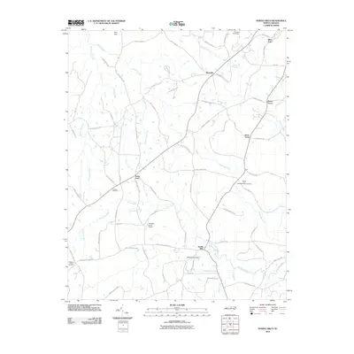
2022 Moriah
Person County, NC
2022 Olive Hill
Person County, NC
2022 Timberlake
Person County, NC
2022 Triple Springs
Person County, NC