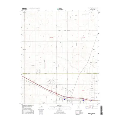
2017 Map of Moriarty North
USGS Topo · Published 2017About this map
Moriarty anchors the southern edge of this survey, where the town’s grid meets the surrounding agricultural and ranching landscape at the county line between Santa Fe Co and Torrance Co. The terrain is defined by broad drainages and wide draws, such as Bachelor Draw and Salt Draw, which dictate the placement of local thoroughfares. To the north, the small settlement of Otto sits along the road network, while Homes Valley occupies the northwestern corner. The map reveals a transition from the structured residential and commercial blocks in Moriarty to a sprawling rural layout characterized by large plots and named family roads like King Farm Rd and Cross Ranch Rd. This 2017 edition documents the modern road system, including Dinkle Rd and Martin Rd, that serves the Estancia Valley's high-desert environment.
Find a feature on this map
105 named features on this map. Tap any name to fly to it.
Don’t see what you’re looking for? This feature index may not catch every label — zoom into the map to look around manually.
Map Details
Editions of this 2017 Moriarty North Map
This is the sole edition of this map. No revisions or reprints were ever made.
Other maps of this area

1892 · San Pedro
USGS Topo · 1:125,000

1894 · Lamy
USGS Topo · 1:125,000

1917 · Estancia
USGS Topo · 1:125,000

1954 · Chilili
USGS Topo · 1:24,000

1954 · San Pedro
USGS Topo · 1:24,000

1954 · Edgewood
USGS Topo · 1:24,000

1954 · Santa Fe
USGS Topo · 1:250,000

1954 · Fort Sumner
USGS Topo · 1:250,000

1954 · Socorro
USGS Topo · 1:250,000

1956 · Edgewood
USGS Topo · 1:62,500