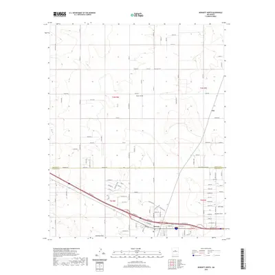
2020 Map of Moriarty North
USGS Topo · Published 2020About this map
Moriarty anchors the southern edge of this Estancia Valley landscape, showing the city's modern street grid as it interfaces with the high desert plains. The area is characterized by a sparse, expansive network of rural roads such as Dinkle Rd and Bean Valley Rd, which connect remote residential pockets like Homes Valley and Otto. The terrain is defined by wide, shallow drainage features including Salt Draw, Bachelor Draw, and Woodman Draw, illustrating the hydrological patterns of Torrance and Santa Fe counties.
Find a feature on this map
106 named features on this map. Tap any name to fly to it.
Don’t see what you’re looking for? This feature index may not catch every label — zoom into the map to look around manually.
Map Details
Editions of this 2020 Moriarty North Map
This is the sole edition of this map. No revisions or reprints were ever made.
Other maps of this area

1892 · San Pedro
USGS Topo · 1:125,000

1894 · Lamy
USGS Topo · 1:125,000

1917 · Estancia
USGS Topo · 1:125,000

1954 · Chilili
USGS Topo · 1:24,000

1954 · San Pedro
USGS Topo · 1:24,000

1954 · Edgewood
USGS Topo · 1:24,000

1954 · Santa Fe
USGS Topo · 1:250,000

1954 · Fort Sumner
USGS Topo · 1:250,000

1954 · Socorro
USGS Topo · 1:250,000

1956 · Edgewood
USGS Topo · 1:62,500