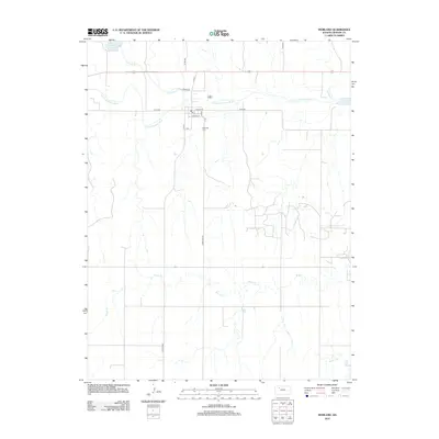
2012 Map of Morland
USGS Topo · Published 2012About this map
Morland serves as the central settlement on this Graham County landscape, where the local street grid is defined by W Main St and Lincoln St. The community's local infrastructure is marked by a central Po and the nearby Morland Cem to the south. This area of western Kansas is heavily shaped by the drainage patterns of the S Fork Solomon River, which meanders eastward across the northern portion of the quadrangle.
Find a feature on this map
22 named features on this map. Tap any name to fly to it.
Don’t see what you’re looking for? This feature index may not catch every label — zoom into the map to look around manually.
Map Details
Editions of this 2012 Morland Map
This is the sole edition of this map. No revisions or reprints were ever made.
Other maps of this area

1893 · Hill
USGS Topo · 1:125,000

1954 · Goodland
USGS Topo · 1:250,000

1955 · Beloit
USGS Topo · 1:250,000

1956 · Goodland
USGS Topo · 1:250,000

1957 · Goodland
USGS Topo · 1:250,000

1959 · Beloit
USGS Topo · 1:250,000

1979 · Lucerne
USGS Topo · 1:24,000

1979 · Morland
USGS Topo · 1:24,000

1979 · Penokee
USGS Topo · 1:24,000

1979 · St Peter
USGS Topo · 1:24,000