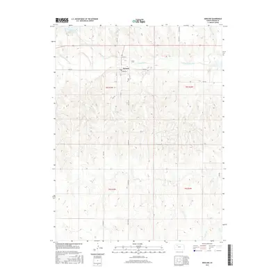
2015 Map of Morland
USGS Topo · Published 2015About this map
The S Fork Solomon River flows eastward through Graham County, anchoring the town of Morland. This 2015 survey shows a grid of section lines and gravel roads defining the High Plains landscape, where the valley of Antelope Cr meets the main river channel just north of town. The settlement is centered around Main St and Summer Ave, with the Morland Cem situated on the southern outskirts along Cemetery Rd. North of the river, Antelope Lake serves as a prominent water feature in an otherwise arid expanse of rangeland and wheat fields. Smaller tributaries like Brush Cr and Jackson Br carve shallow draws into the terrain to the south, illustrating the drainage patterns that have shaped the agricultural development of this Kansas region.
Find a feature on this map
30 named features on this map. Tap any name to fly to it.
Don’t see what you’re looking for? This feature index may not catch every label — zoom into the map to look around manually.
Map Details
Editions of this 2015 Morland Map
This is the sole edition of this map. No revisions or reprints were ever made.
Other maps of this area

1893 · Hill
USGS Topo · 1:125,000

1954 · Goodland
USGS Topo · 1:250,000

1955 · Beloit
USGS Topo · 1:250,000

1956 · Goodland
USGS Topo · 1:250,000

1957 · Goodland
USGS Topo · 1:250,000

1959 · Beloit
USGS Topo · 1:250,000

1979 · Lucerne
USGS Topo · 1:24,000

1979 · Morland
USGS Topo · 1:24,000

1979 · Penokee
USGS Topo · 1:24,000

1979 · St Peter
USGS Topo · 1:24,000