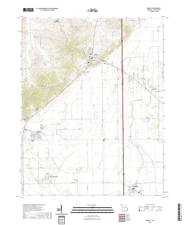
2021 Map of Morley
USGS Topo · Published 2021About this map
The Scott County Courthouse in Benton serves as a central landmark in this 2021 landscape, where the elevation of the Scott County Hills meets the engineered drainage of the Missouri Bootheel. The transition from the high ground near Benton Ridge to the lowlands is marked by a complex system of waterways, including the Saint Johns Ditch and Blue Ditch. These features illustrate the area's long-standing reliance on land reclamation to support the agricultural productivity of the region.
Find a feature on this map
96 named features on this map. Tap any name to fly to it.
Don’t see what you’re looking for? This feature index may not catch every label — zoom into the map to look around manually.
Map Details
Editions of this 2021 Morley Map
This is the sole edition of this map. No revisions or reprints were ever made.
Other maps of this area

1931 · Sikeston
USGS Topo · 1:62,500

1934 · Thebes
USGS Topo · 1:62,500

1934 · Morley
USGS Topo · 1:62,500

1934 · Sikeston
USGS Topo · 1:62,500

1939 · Sikeston
USGS Topo · 1:62,500

1939 · Charleston
USGS Topo · 1:62,500

1939 · Morley
USGS Topo · 1:62,500

1939 · Thebes
USGS Topo · 1:62,500

1949 · Paducah
USGS Topo · 1:250,000

1950 · Paducah
USGS Topo · 1:250,000