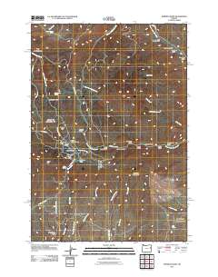
2011 Map of Mormon Basin
USGS Topo · Published 2011About this map
Mormon Basin is the focal point of this Malheur County landscape, a name synonymous with the region's historic mining activity. The map reveals an intricate network of narrow gulches and hills that suggest the intensive prospecting of earlier eras. Mining heritage is explicitly marked by routes like Golden Age Mine Rd, while the naming of City Gulch, Rich Gulch, and Glengarry Gulch reflects the optimism and industry that once drew settlers to this high desert terrain.
Find a feature on this map
49 named features on this map. Tap any name to fly to it.
Don’t see what you’re looking for? This feature index may not catch every label — zoom into the map to look around manually.
Map Details
Editions of this 2011 Mormon Basin Map
This is the sole edition of this map. No revisions or reprints were ever made.
Other maps of this area

1901 · Baker City
USGS Topo · 1:125,000

1915 · Pine
USGS Topo · 1:125,000

1951 · Huntington
USGS Topo · 1:62,500

1955 · Baker
USGS Topo · 1:250,000

1957 · Durkee
USGS Topo · 1:62,500

1959 · Baker
USGS Topo · 1:250,000

1964 · Bridgeport
USGS Topo · 1:62,500

1967 · French Gulch
USGS Topo · 1:24,000

1967 · Lost Basin
USGS Topo · 1:24,000

1980 · Brogan
USGS Topo · 1:100,000