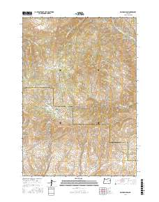
2017 Map of Mormon Basin
USGS Topo · Published 2017About this map
Mormon Basin defines the central focus of this landscape along the Baker and Malheur county line. The terrain is marked by a complex network of drainages and topographical prominences that suggest a history of prospecting and resource extraction. The naming conventions throughout the basin—including Rich Gulch, Glengarry Gulch, and Last Chance Gulch—point to the area's legacy of mining and discovery. These features are linked by a system of primitive routes such as Mormon Basin Rd and Rye Valley Rd.
Find a feature on this map
70 named features on this map. Tap any name to fly to it.
Don’t see what you’re looking for? This feature index may not catch every label — zoom into the map to look around manually.
Map Details
Editions of this 2017 Mormon Basin Map
This is the sole edition of this map. No revisions or reprints were ever made.
Other maps of this area

1901 · Baker City
USGS Topo · 1:125,000

1915 · Pine
USGS Topo · 1:125,000

1951 · Huntington
USGS Topo · 1:62,500

1955 · Baker
USGS Topo · 1:250,000

1957 · Durkee
USGS Topo · 1:62,500

1959 · Baker
USGS Topo · 1:250,000

1964 · Bridgeport
USGS Topo · 1:62,500

1967 · French Gulch
USGS Topo · 1:24,000

1967 · Lost Basin
USGS Topo · 1:24,000

1980 · Brogan
USGS Topo · 1:100,000