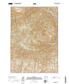
2020 Map of Mormon Basin
USGS Topo · Published 2020About this map
Mormon Basin is the central focus of this high-desert landscape along the border of Baker and Malheur Counties. The geography is defined by a dense network of gulches and draws, many bearing names that hint at the region's historical mining activity. Features such as Rich Gulch, Discovery Gulch, and Puget Sound Gulch radiate from the basin, while City Gulch and French Gulch suggest a legacy of early prospector settlements and claim-staking.
Find a feature on this map
68 named features on this map. Tap any name to fly to it.
Don’t see what you’re looking for? This feature index may not catch every label — zoom into the map to look around manually.
Map Details
Editions of this 2020 Mormon Basin Map
This is the sole edition of this map. No revisions or reprints were ever made.
Other maps of this area

1901 · Baker City
USGS Topo · 1:125,000

1915 · Pine
USGS Topo · 1:125,000

1951 · Huntington
USGS Topo · 1:62,500

1955 · Baker
USGS Topo · 1:250,000

1957 · Durkee
USGS Topo · 1:62,500

1959 · Baker
USGS Topo · 1:250,000

1964 · Bridgeport
USGS Topo · 1:62,500

1967 · French Gulch
USGS Topo · 1:24,000

1967 · Lost Basin
USGS Topo · 1:24,000

1980 · Brogan
USGS Topo · 1:100,000