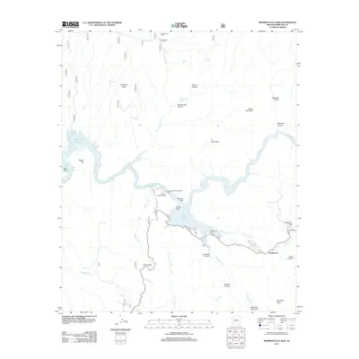
2011 Map of Mormon Flat Dam
USGS Topo · Published 2011About this map
Mormon Flat Dam controls the passage of the Salt River in this arid landscape, creating the expansive Canyon Lake and Saguaro Lake reservoirs. The infrastructure supporting this reclamation project is evident at the Salt River Project Housing cluster and the Canyon Lake Marina, which highlight the region's 21st-century role as a center for water management and recreation. The legendary Apache Trl winds through the terrain, passing through Apache Gap and providing access to the small settlement at Tortilla Flat. The topography is defined by dramatic vertical features such as Satchin Cliff, Geronimo Head, and Battleship Mountain. Water sources in this desert environment are carefully recorded, from remote points like Hidden Water Spring and Blue Spring to various tanks like Bagley Tank, which supported early ranching and travel before the major dam projects transformed the river valley.
Find a feature on this map
41 named features on this map. Tap any name to fly to it.
Don’t see what you’re looking for? This feature index may not catch every label — zoom into the map to look around manually.
Map Details
Editions of this 2011 Mormon Flat Dam Map
This is the sole edition of this map. No revisions or reprints were ever made.
Other maps of this area
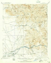
1900 · Florence
USGS Topo · 1:125,000
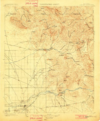
1902 · Florence
USGS Topo · 1:125,000
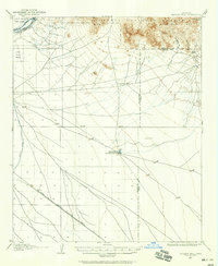
1904 · Desert Well
USGS Topo · 1:62,500
1904 · Ft. McDowell
USGS Topo · 1:62,500
1906 · Ft. McDowell
USGS Topo · 1:62,500
1906 · Desert Well
USGS Topo · 1:62,500
1907 · Roosevelt
USGS Topo · 1:125,000
1909 · Four Peaks
USGS Topo · 1:125,000
1912 · Roosevelt
USGS Topo · 1:125,000
1930 · Cave Creek
USGS Topo · 1:125,000