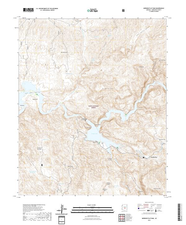
2021 Map of Mormon Flat Dam
USGS Topo · Published 2021About this map
Canyon Lake and the structural engineering of the Mormon Flat Dam dominate this section of the Salt River corridor within the Tonto National Forest. The landscape is defined by dramatic elevation changes and named geological formations such as Satchin Cliff, Ittindi Rock, and the prominent Battleship Mtn. The historic route of the Apache Trl winds through the southeastern quadrant, connecting the small settlement at Tortilla Flat to the surrounding canyons.
Find a feature on this map
58 named features on this map. Tap any name to fly to it.
Don’t see what you’re looking for? This feature index may not catch every label — zoom into the map to look around manually.
Map Details
Editions of this 2021 Mormon Flat Dam Map
This is the sole edition of this map. No revisions or reprints were ever made.
Other maps of this area

1900 · Florence
USGS Topo · 1:125,000

1902 · Florence
USGS Topo · 1:125,000

1904 · Desert Well
USGS Topo · 1:62,500

1904 · Ft. McDowell
USGS Topo · 1:62,500

1906 · Ft. McDowell
USGS Topo · 1:62,500

1906 · Desert Well
USGS Topo · 1:62,500

1907 · Roosevelt
USGS Topo · 1:125,000

1909 · Four Peaks
USGS Topo · 1:125,000

1912 · Roosevelt
USGS Topo · 1:125,000

1930 · Cave Creek
USGS Topo · 1:125,000