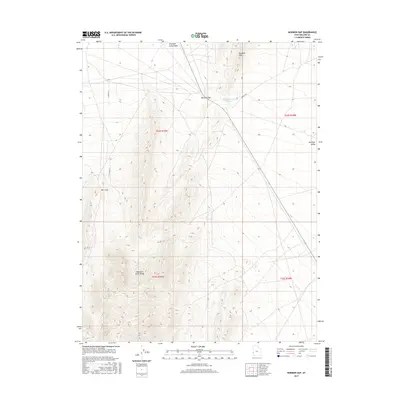
2017 Map of Mormon Gap
USGS Topo · Published 2017About this map
Mountain Home Range and the Burbank Hills dominate this high-desert landscape in Millard County. The terrain is defined by a significant topographical break at Mormon Gap, where the north-south elevation shifts toward the broad expanse of Antelope Valley. Water management in this arid environment is evident at the Mormon Gap Reservoir, a vital point of collection for runoff from the nearby slopes. The drainage patterns of the Antelope Valley Wash and the secluded basin of The Cove illustrate the natural flow of water through the alluvial fans. While largely devoid of permanent settlements, the area is connected by remote routes such as Cowboy Rd and established section lines like S 34600 W St, which reflect the vast public land survey system used to organize this interior basin territory.
Find a feature on this map
14 named features on this map. Tap any name to fly to it.
Don’t see what you’re looking for? This feature index may not catch every label — zoom into the map to look around manually.
Map Details
Editions of this 2017 Mormon Gap Map
This is the sole edition of this map. No revisions or reprints were ever made.
Other maps of this area

1949 · Garrison
USGS Topo · 1:62,500

1951 · Garrison
USGS Topo · 1:62,500

1953 · Richfield
USGS Topo · 1:250,000

1956 · Lund
USGS Topo · 1:250,000

1958 · Richfield
USGS Topo · 1:250,000

1960 · Lund
USGS Topo · 1:250,000

1960 · Burbank Hills
USGS Topo · 1:62,500

1971 · Mountain Home Pass
USGS Topo · 1:24,000

1971 · Halfway Summit
USGS Topo · 1:24,000

1971 · Tunnel Spring
USGS Topo · 1:24,000